
Day 2. Up to Honzan hut
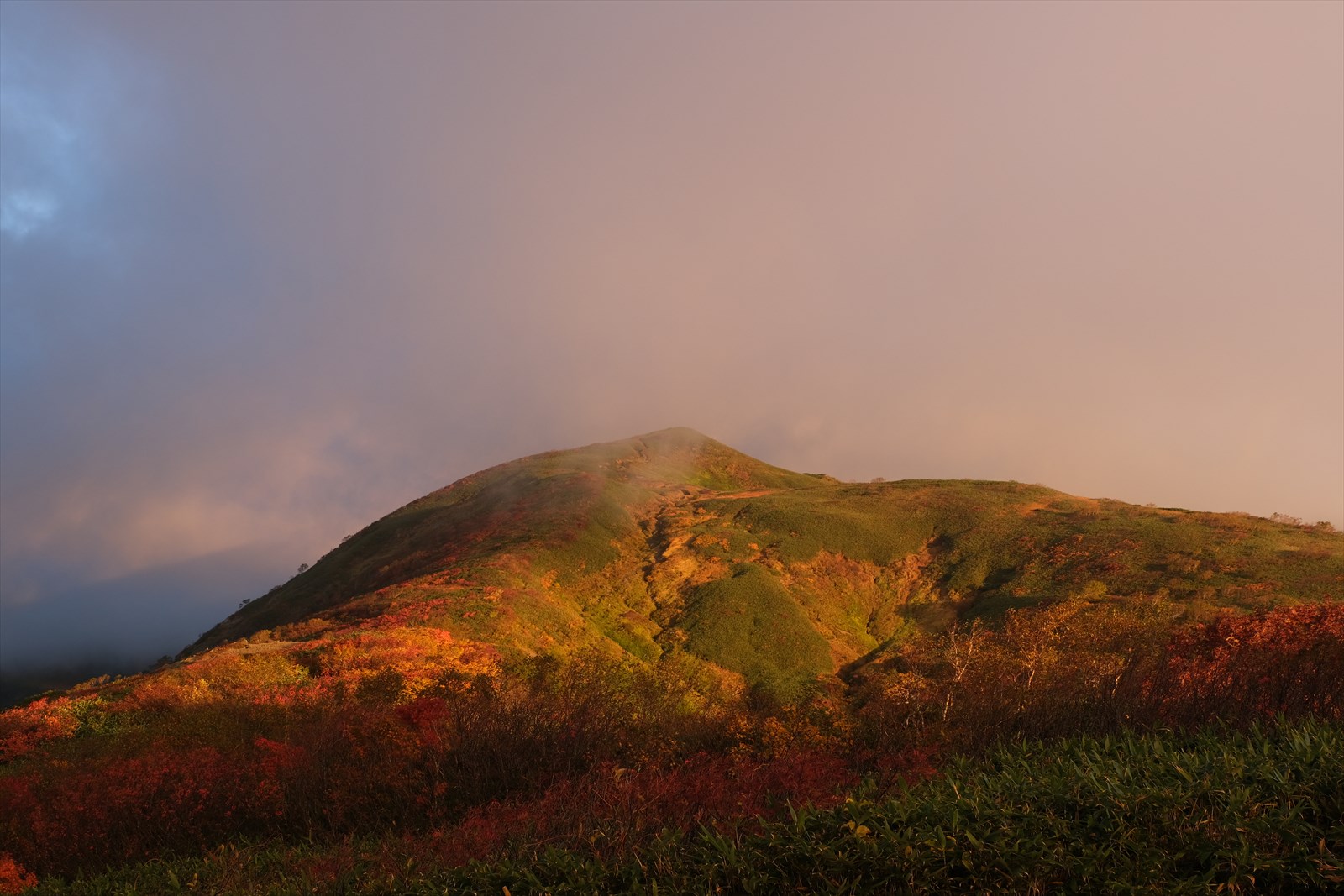
It was just before 6:00 a.m. on October 3. The Iide mountain range is reddening in the morning sun. It is the beginning of the second day. (It was raining during the night, so I could not photograph the stars.)
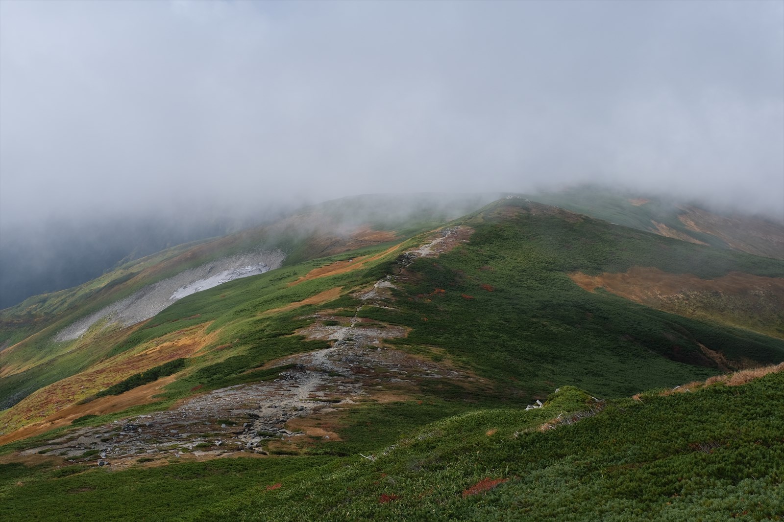
This is Mt. Dainichi surrounded by gas.
First, we proceed toward Honzan hut.
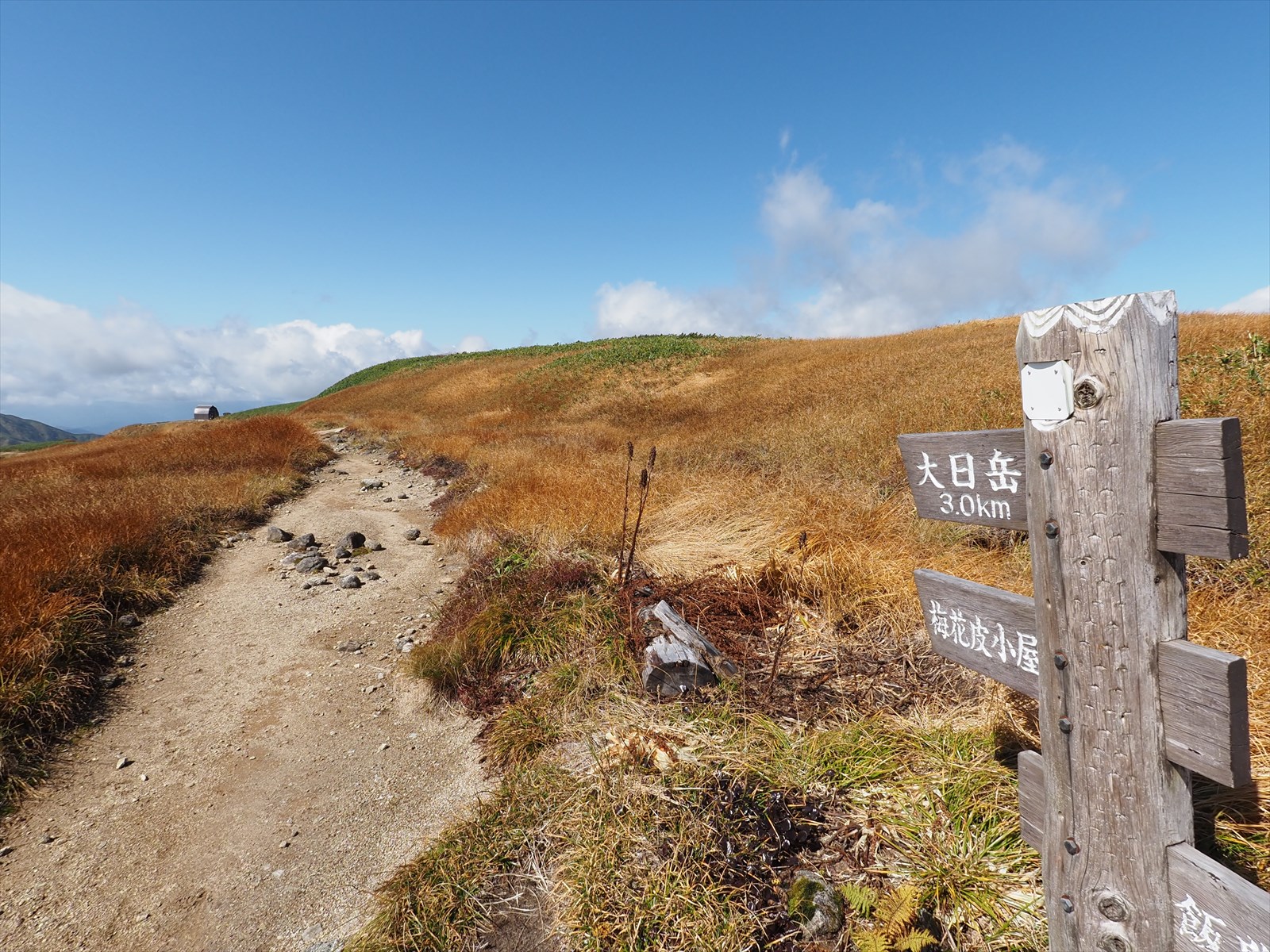
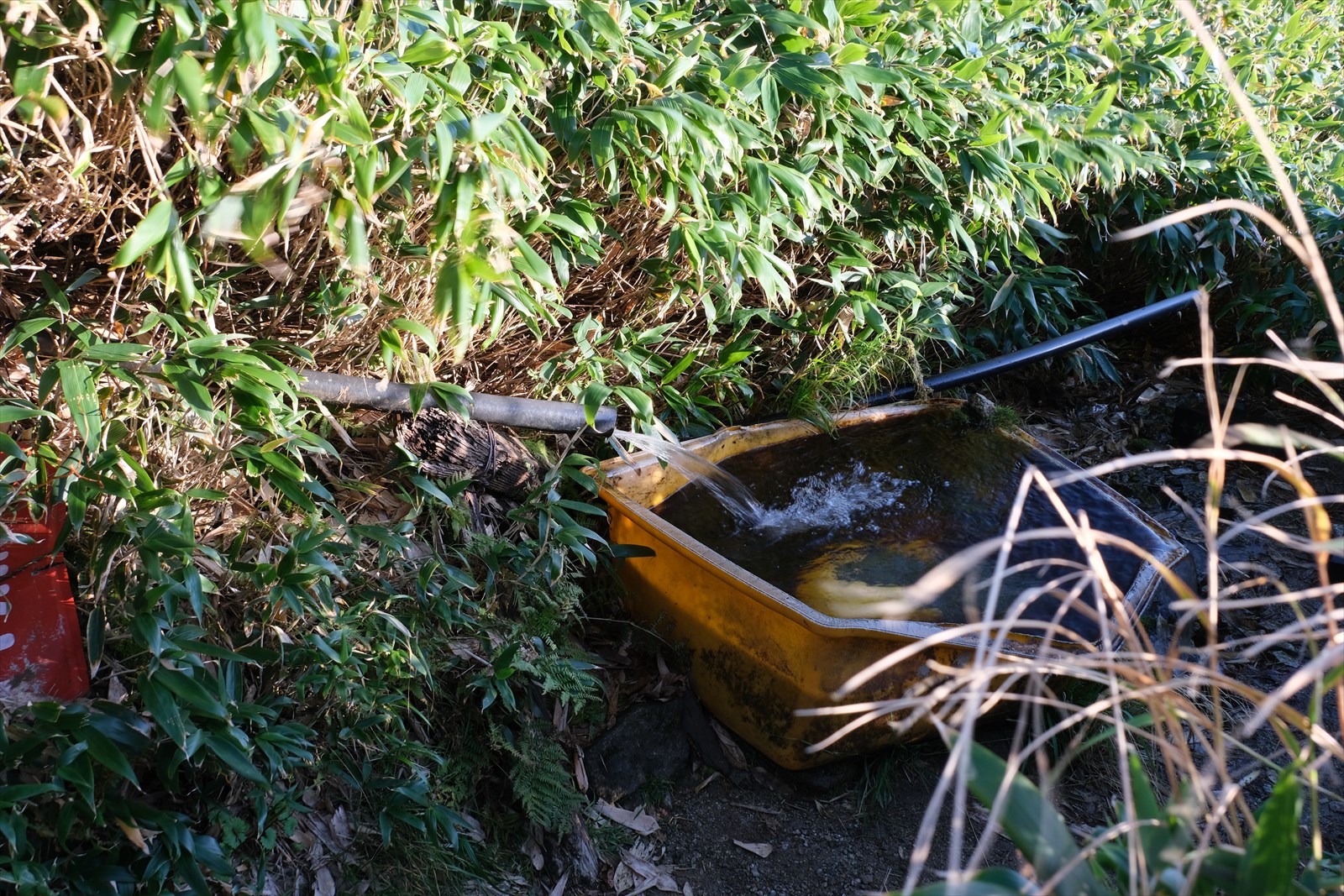
We climbed up the stream terrain route. There is water coming out of this area, and it appears to be drinkable. If the water station at Kiriawase hut is closed, it would be good to use this water station. For more information.
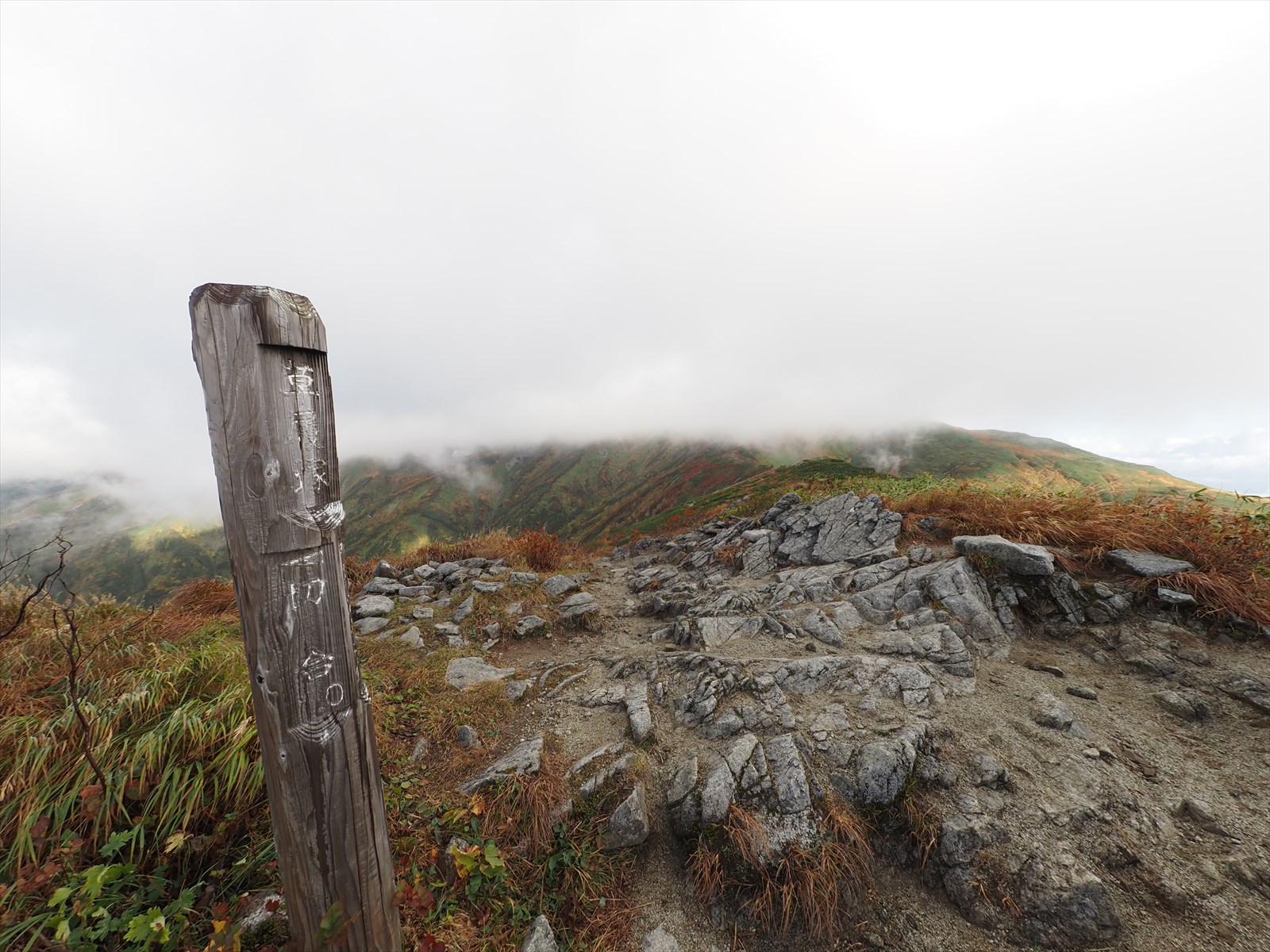
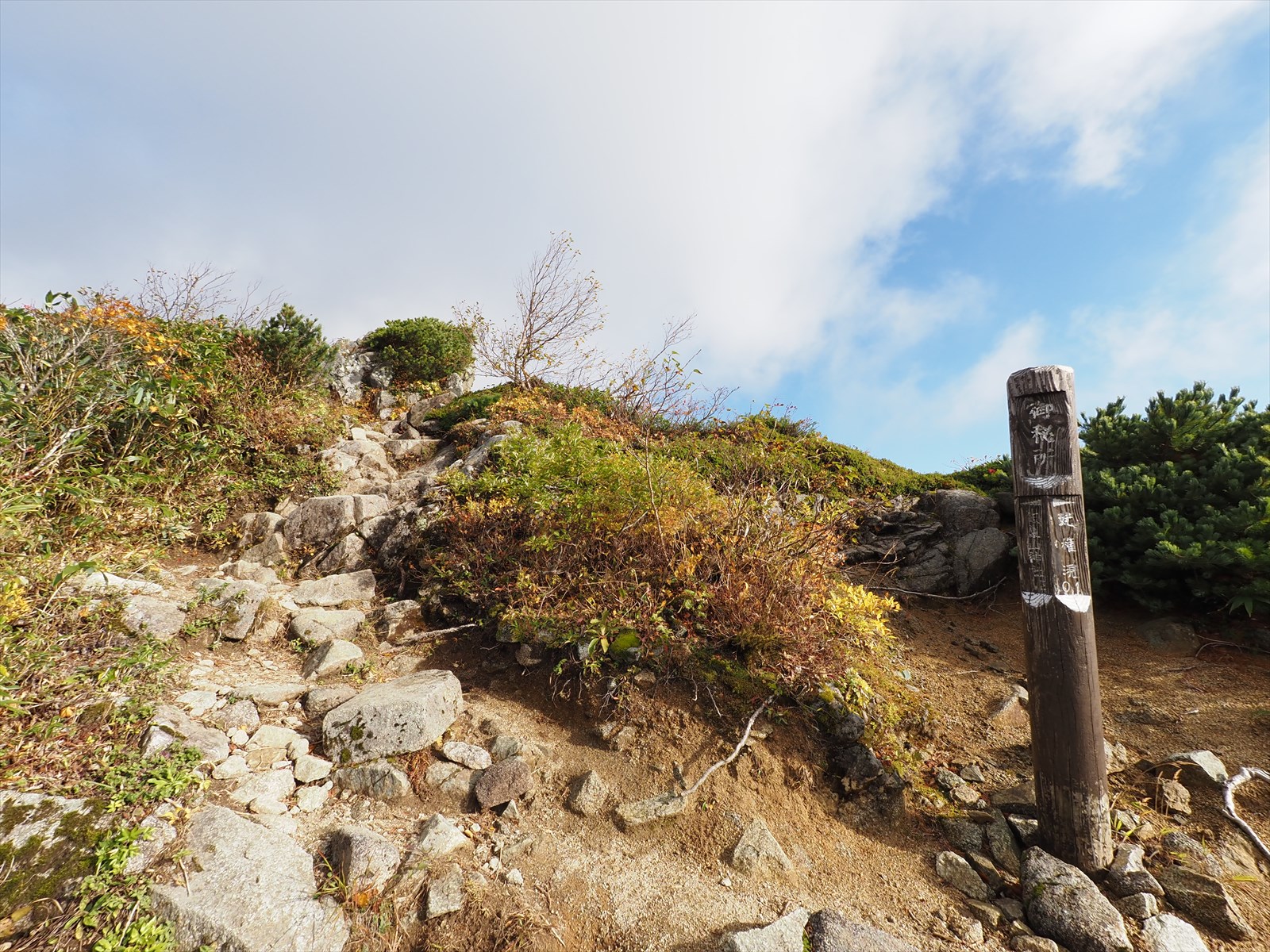
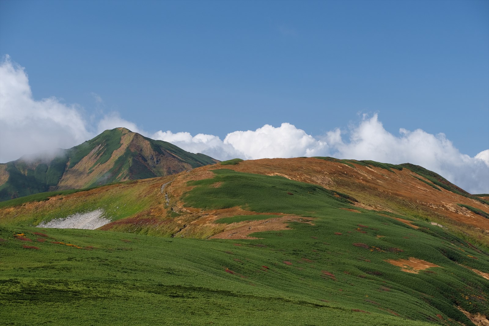
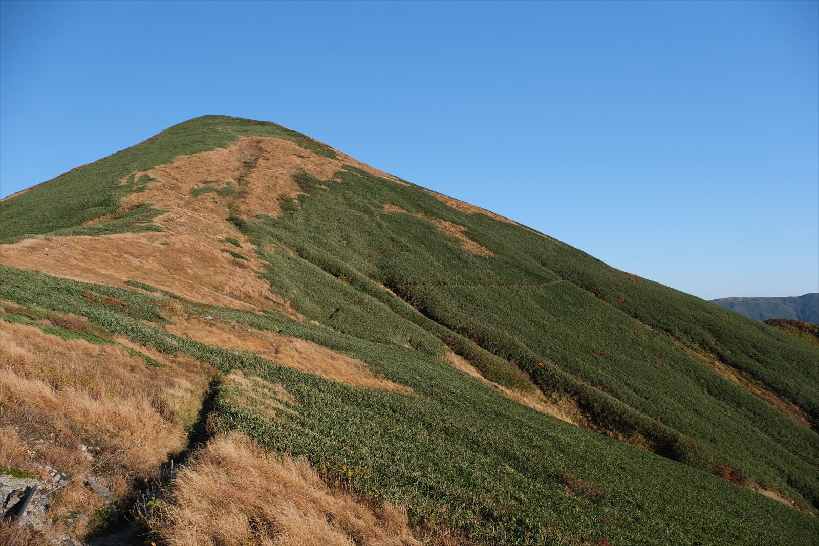
We arrived at Zouri-zuka. It is said that people in the past used to re-tighten the laces of their sandals here for the climb ahead.
This is a traverse route of autumn leaves.
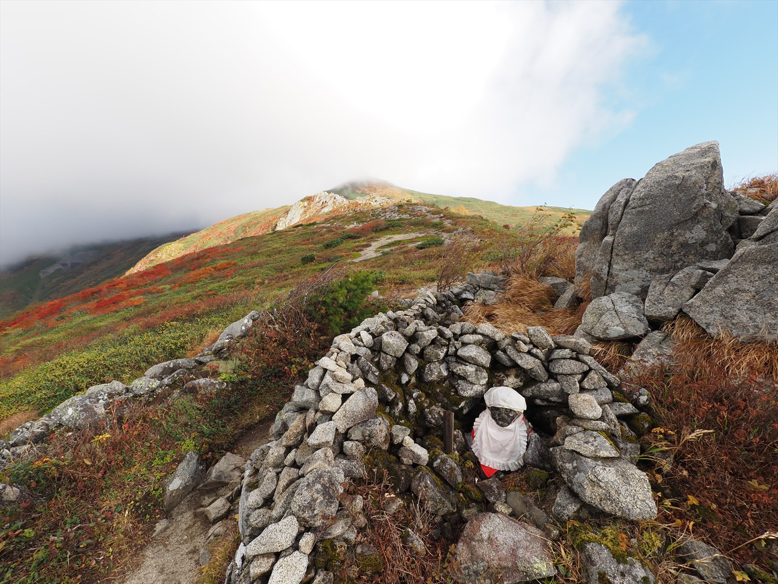
We arrived at Uba-gongen.
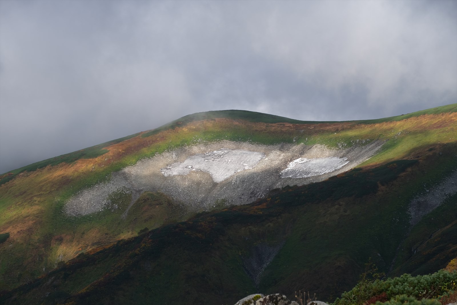
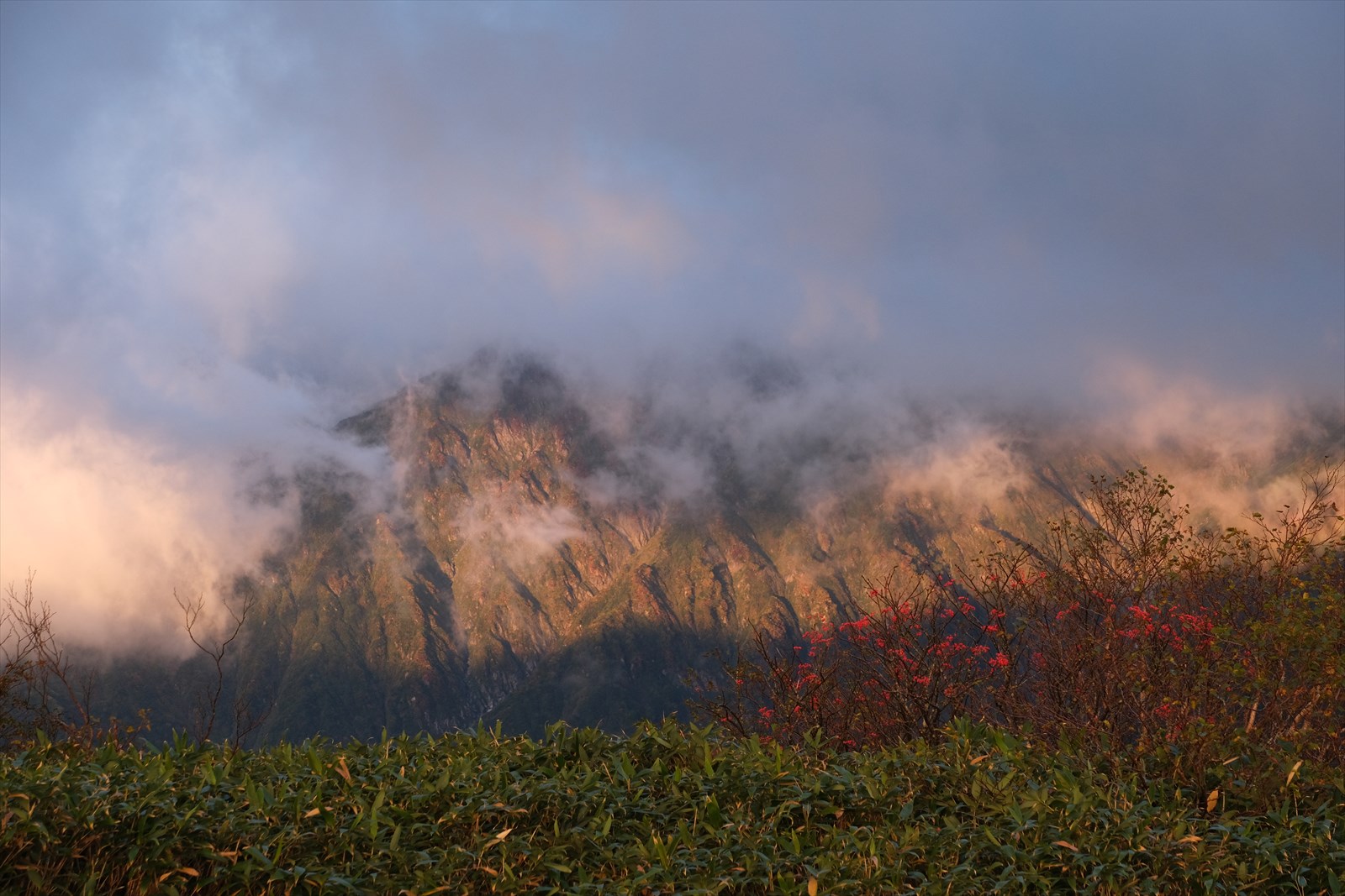
It is October, but there are still snow-covered mountains in some places. Iide is a place of heavy snowfall.
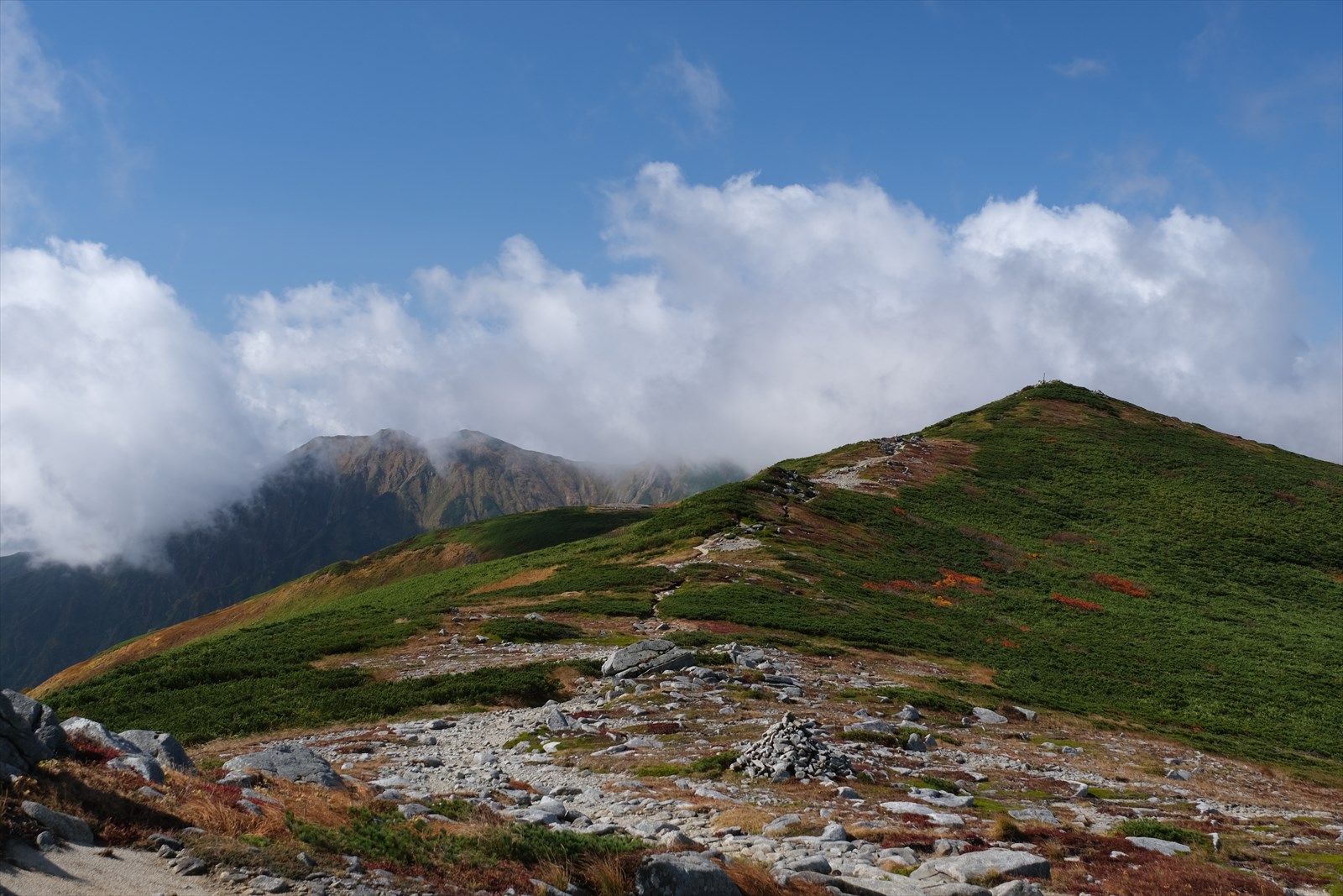
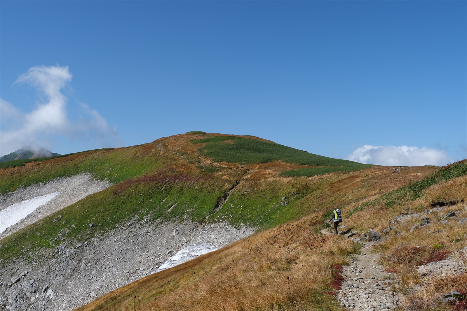
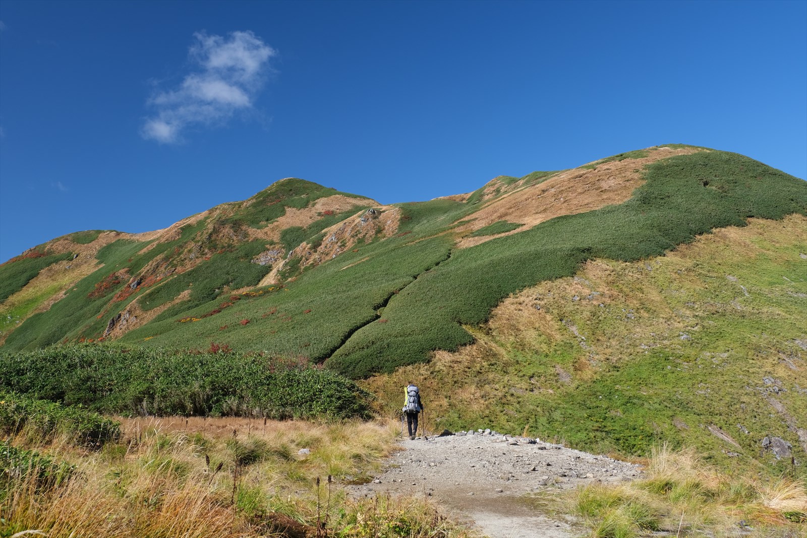
We will continue onward.
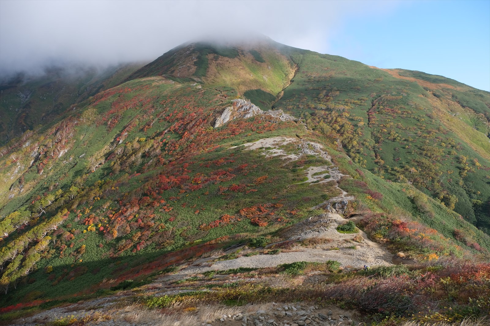
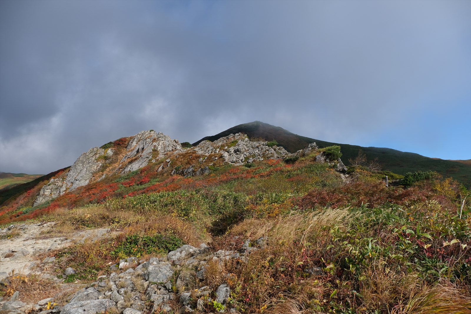
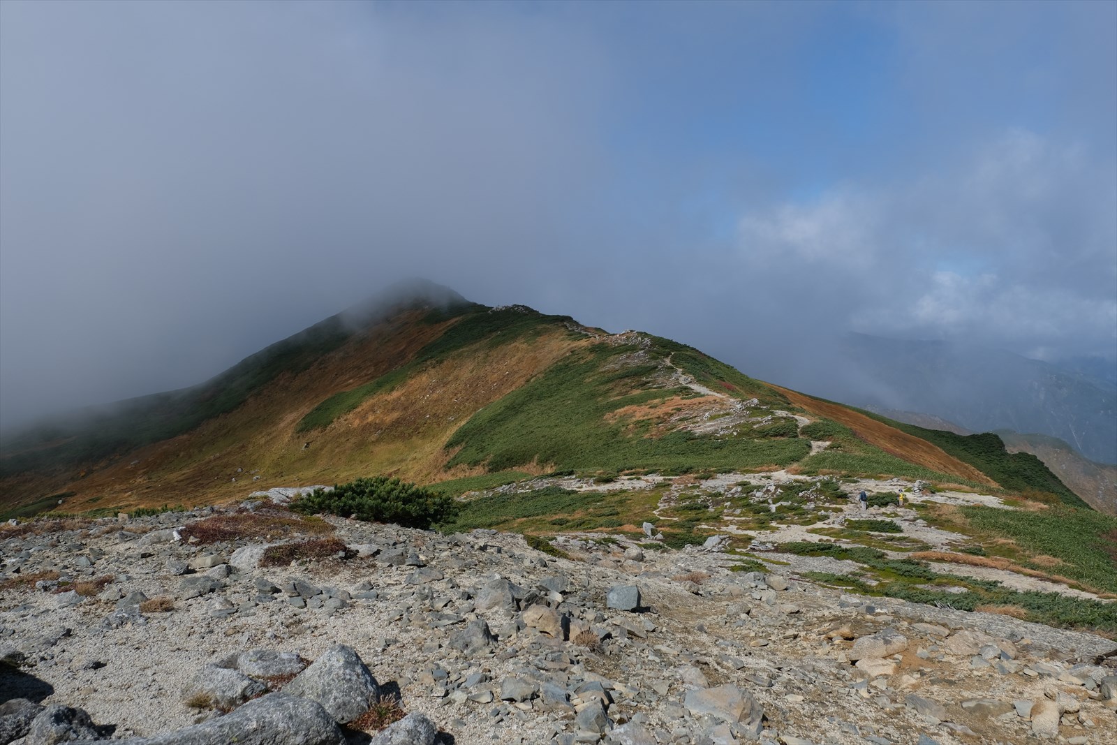
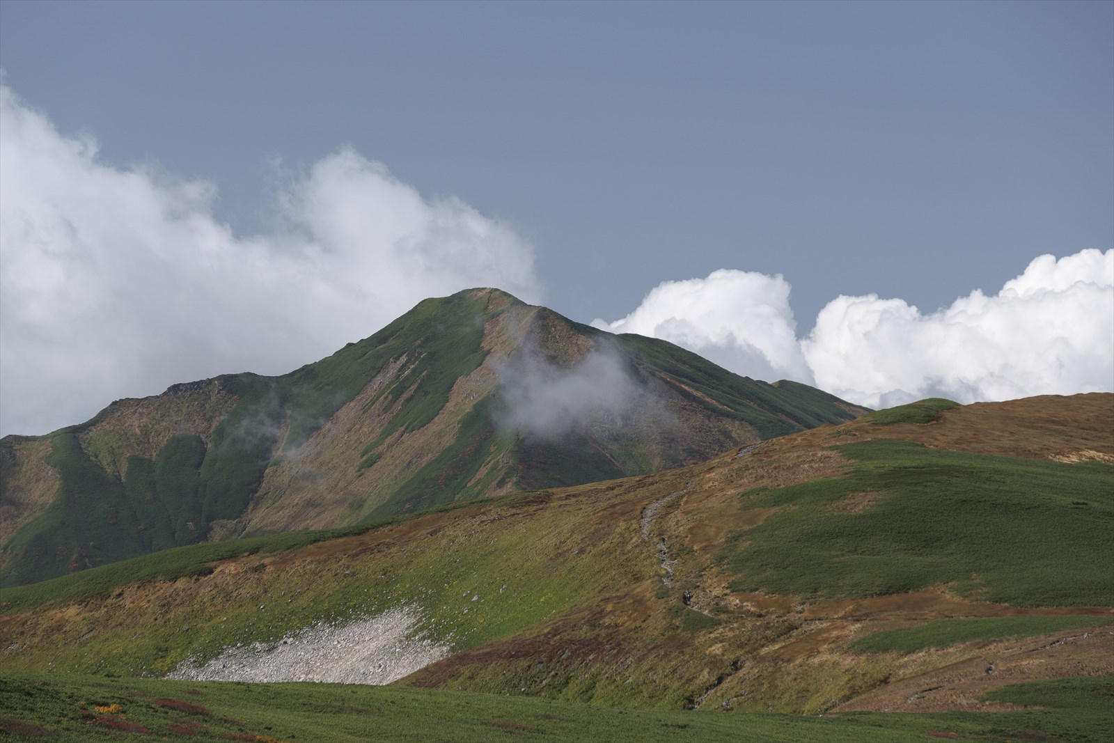
We have come to Ohiso.
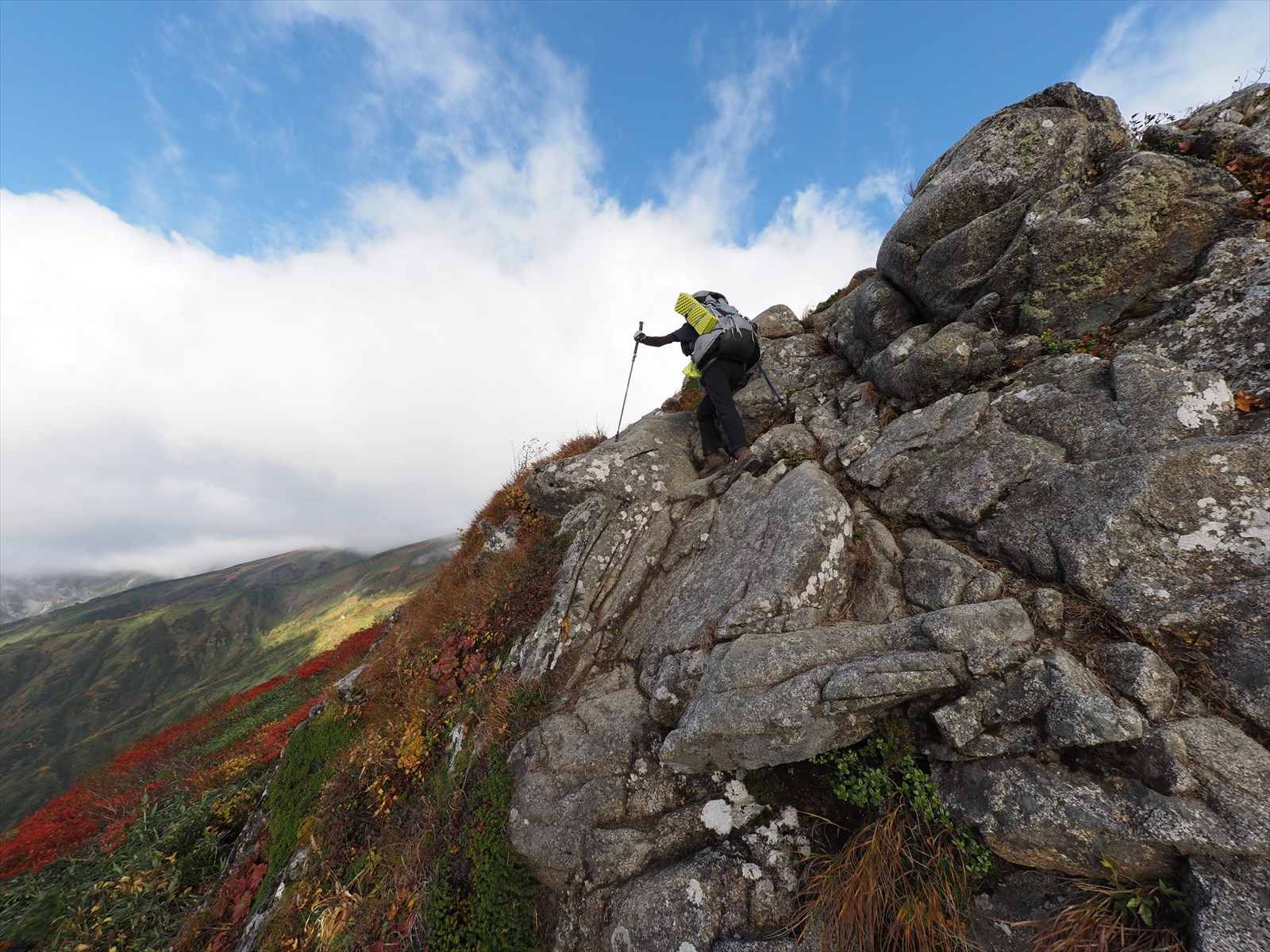
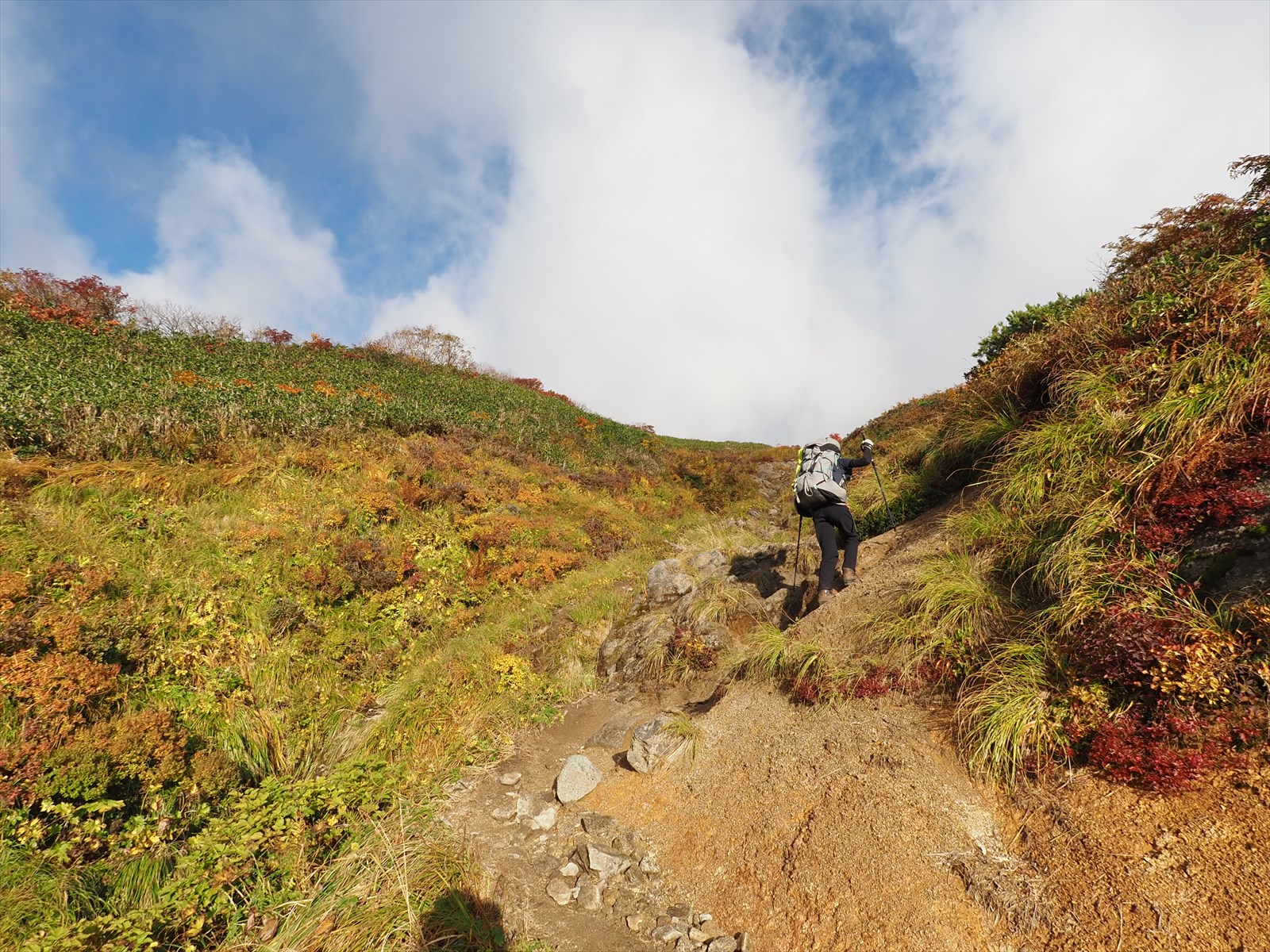
From Ohiso onward, the route is rocky. The route is well held and has chains, so it is not particularly difficult if you proceed carefully. It is better to put away trekking poles.
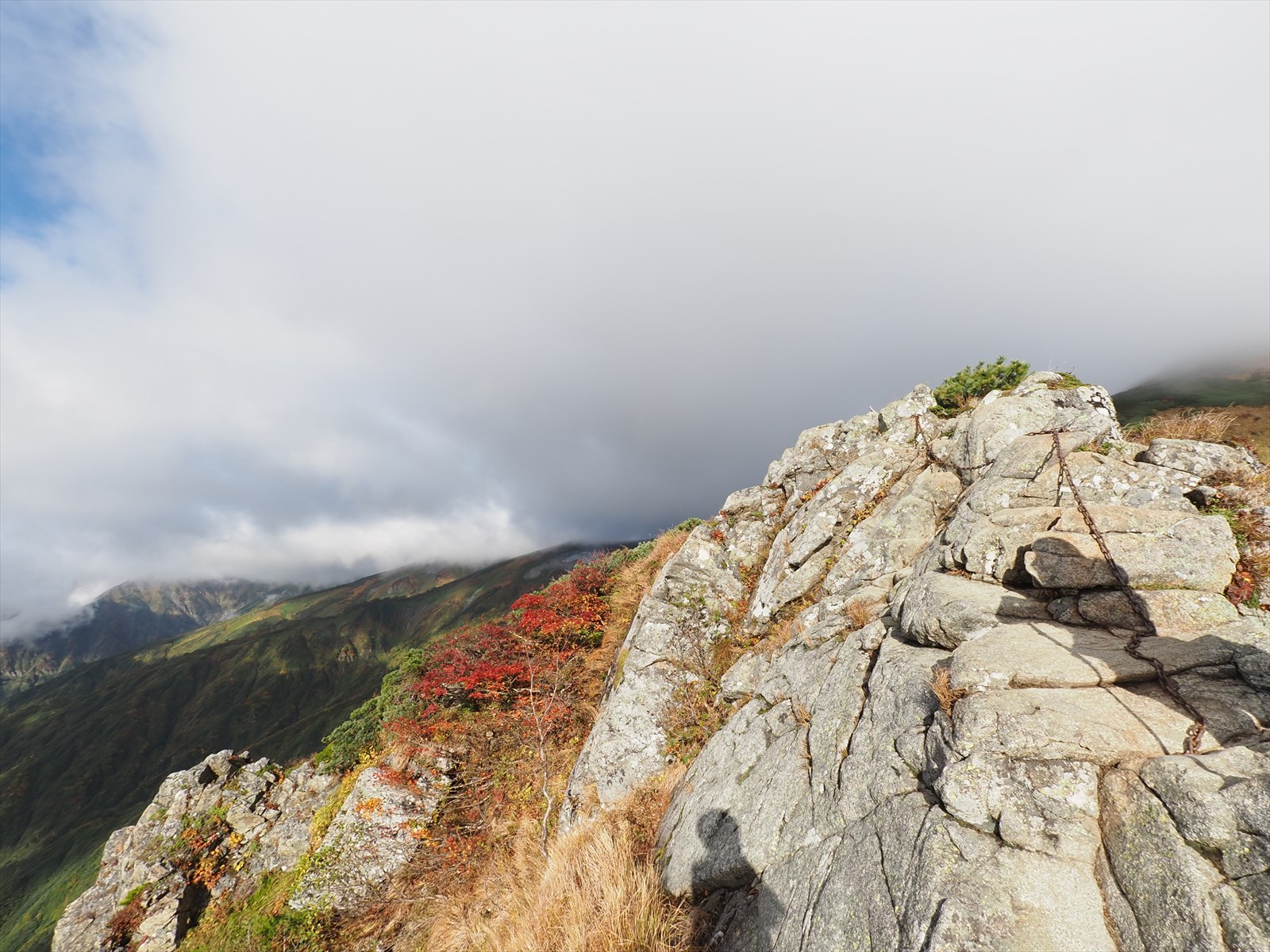
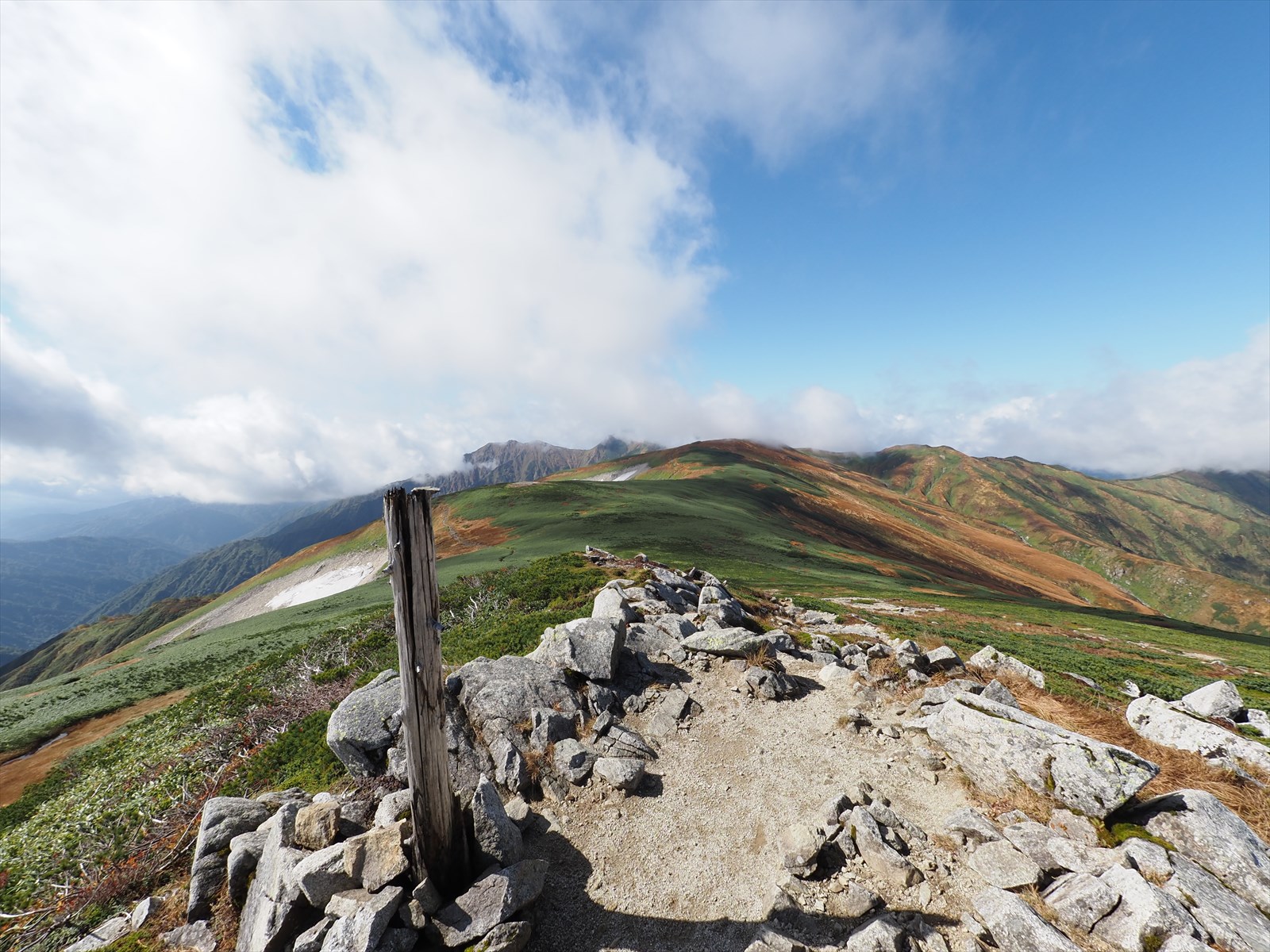
The time required to pass through the rocky area is about 5 to 10 minutes.
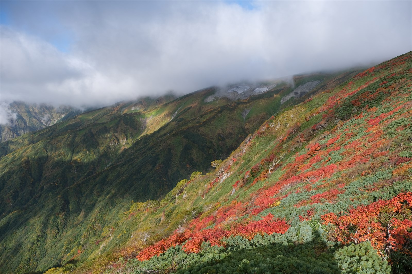
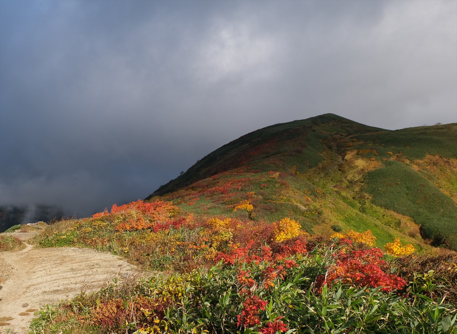
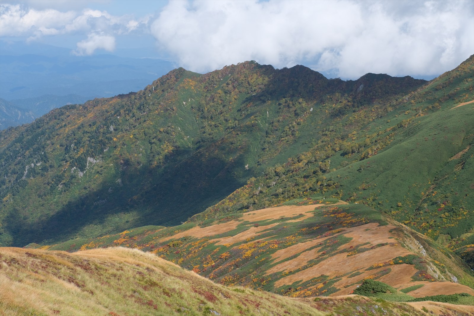
The autumn leaves on the slopes are beautiful.

Continue toward Honzan hut.
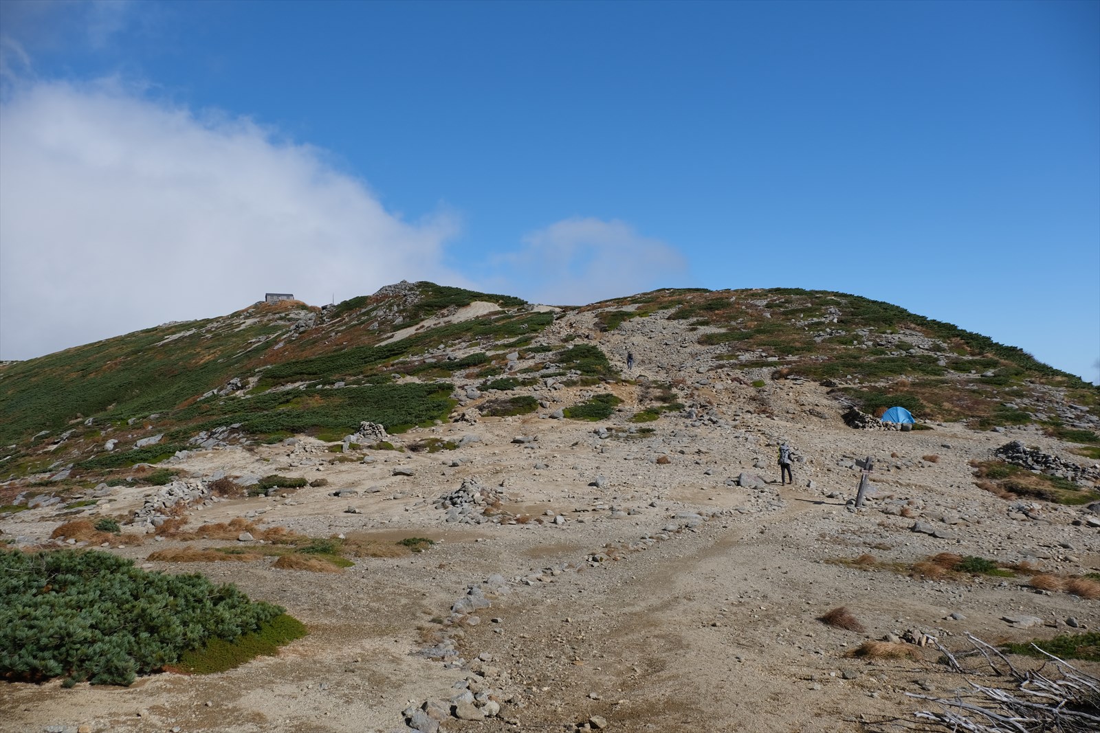
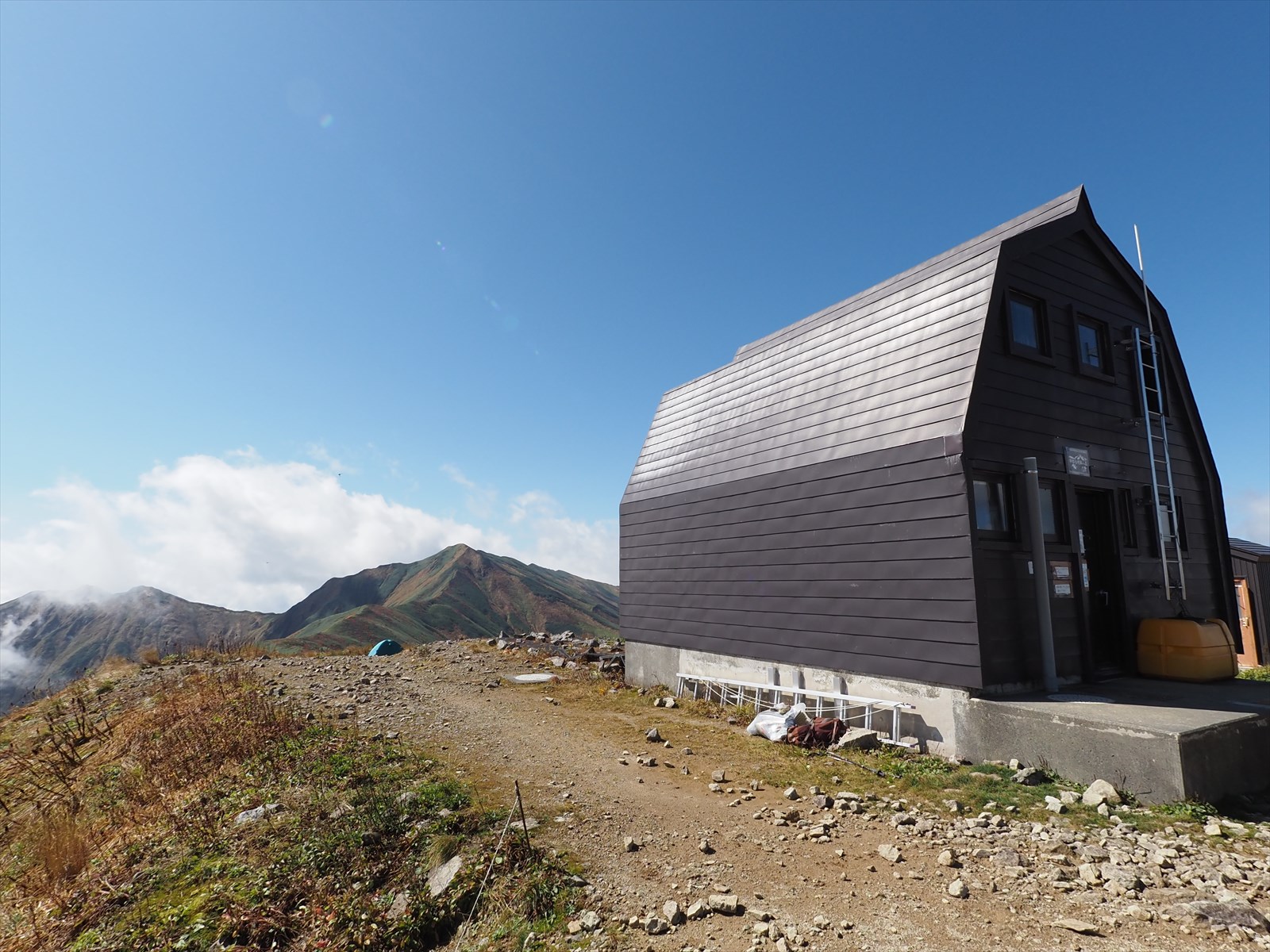
We have arrived at the tent site of Honzan hut. And at the far left, we can see Honzan hut.
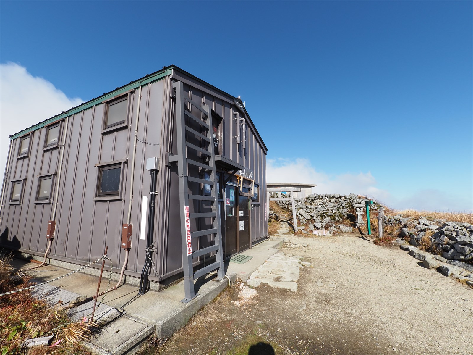
We arrived at Honzan hut! By the way, the water station of Honzan hut is located 150 meters away from the hut. If you can afford it, it is better to get water at Kiriawase hut.
Here is information on watering holes in Honzan hut.
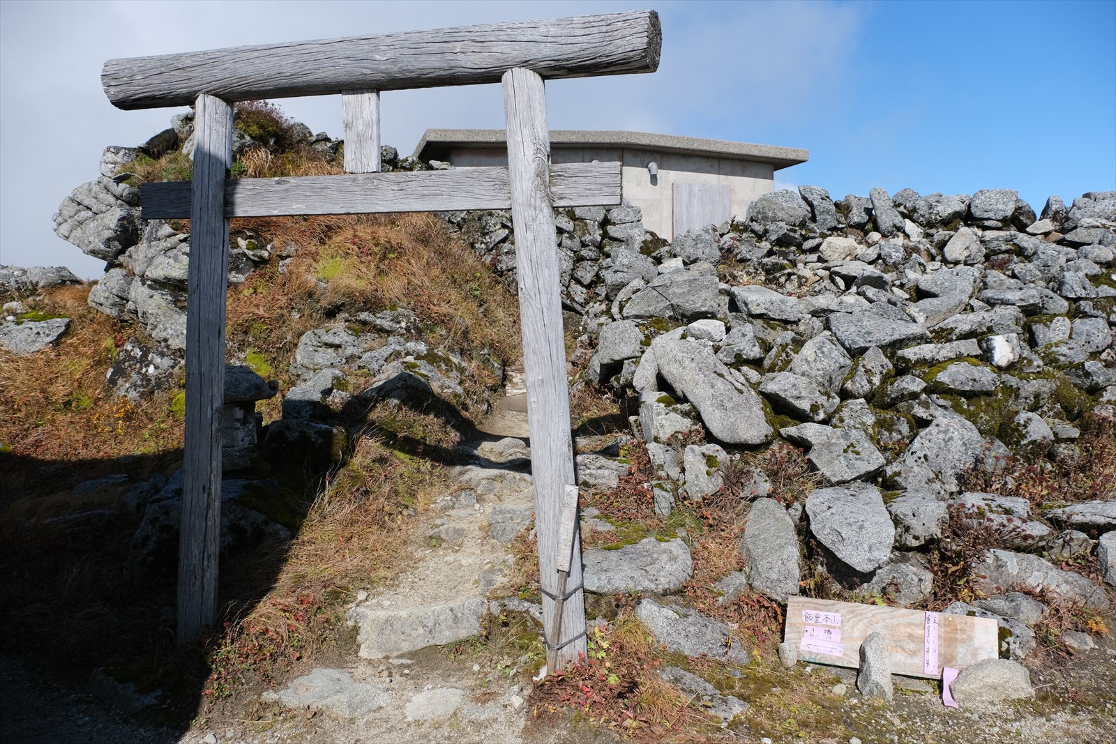
There is a torii gate at the Honzan hut. It is possible to buy amulet (Ofuda) at the hut.
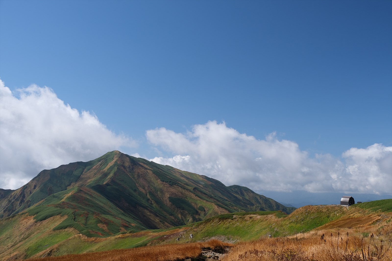
Mount Iide
Mount Iide, the main peak of the Iide mountain range.
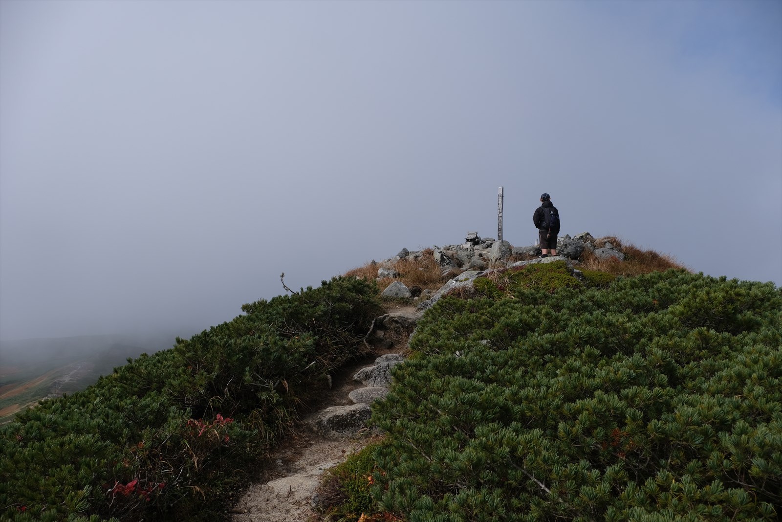
The summit sign is now in view. The distance between Honzan hut and the summit of Iide is only 20 minutes one way.
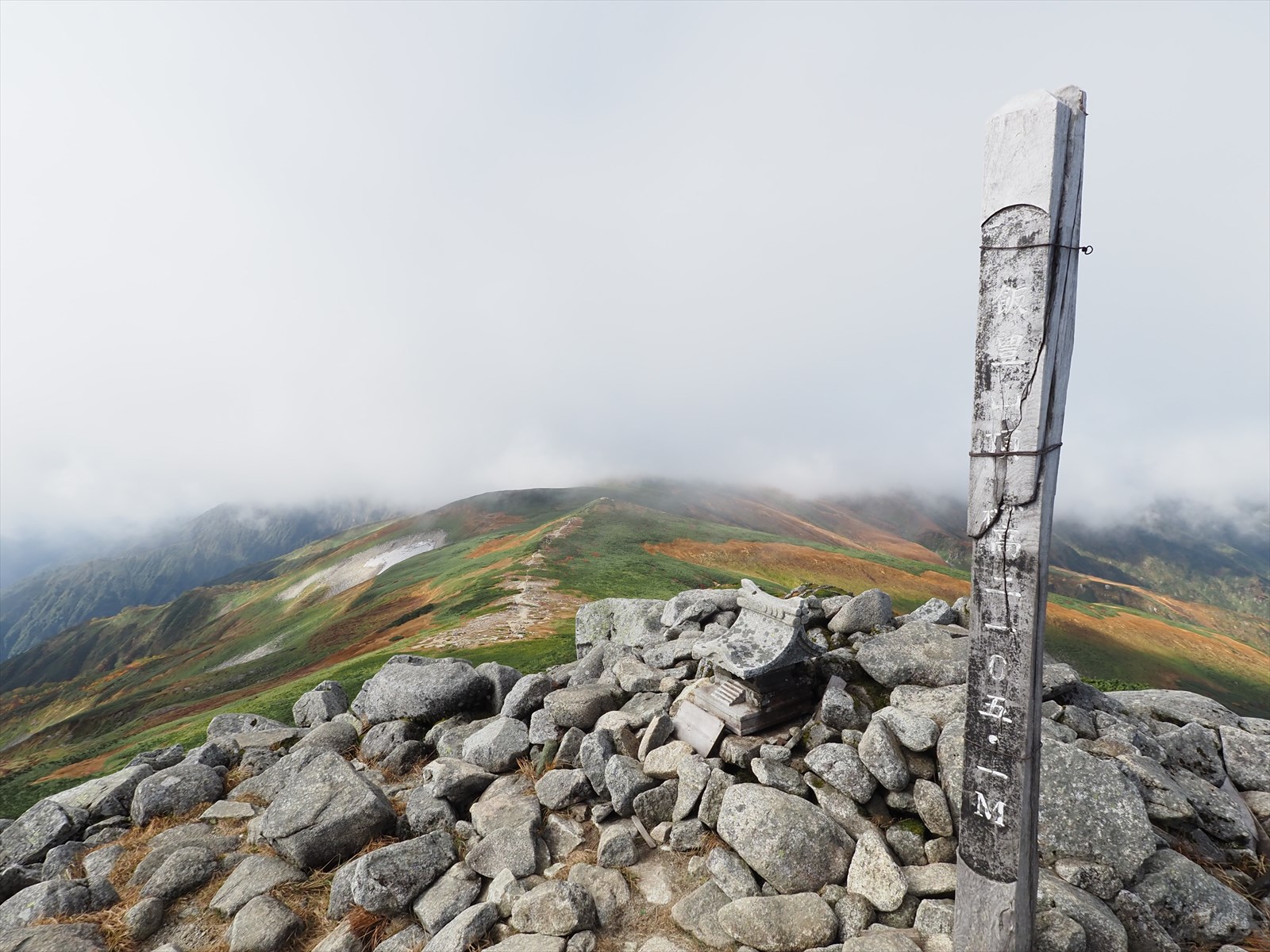
We arrived at Mount Iide (2,105 meters above sea level)!
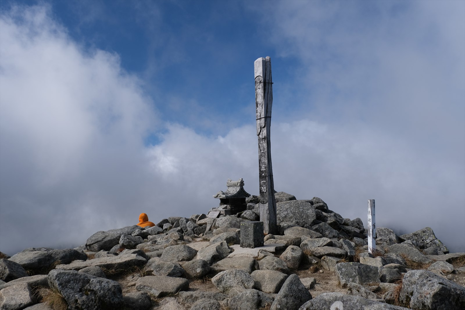
We waited for about 10 minutes, but the gas would not clear. We give up and move on.
To Onishi hut
We then set out for Onishi hut.
Mount Iide, the number of climbers suddenly decreased. The reason may be not only because the next day was a weekday, but also because the area is more northerly than Mount Iide, the main peak of the mountain range. Iide mountain range is a good mountain area to enjoy the quietness of the mountains.
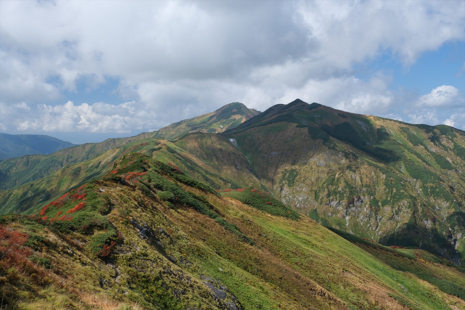
We have reached the summit of Mount Komagata (2,038 meters above sea level). The thick clouds that had covered the sky were beginning to lift!
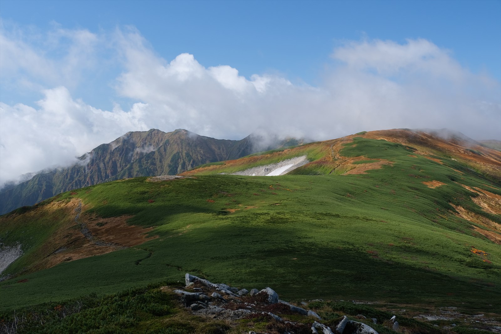
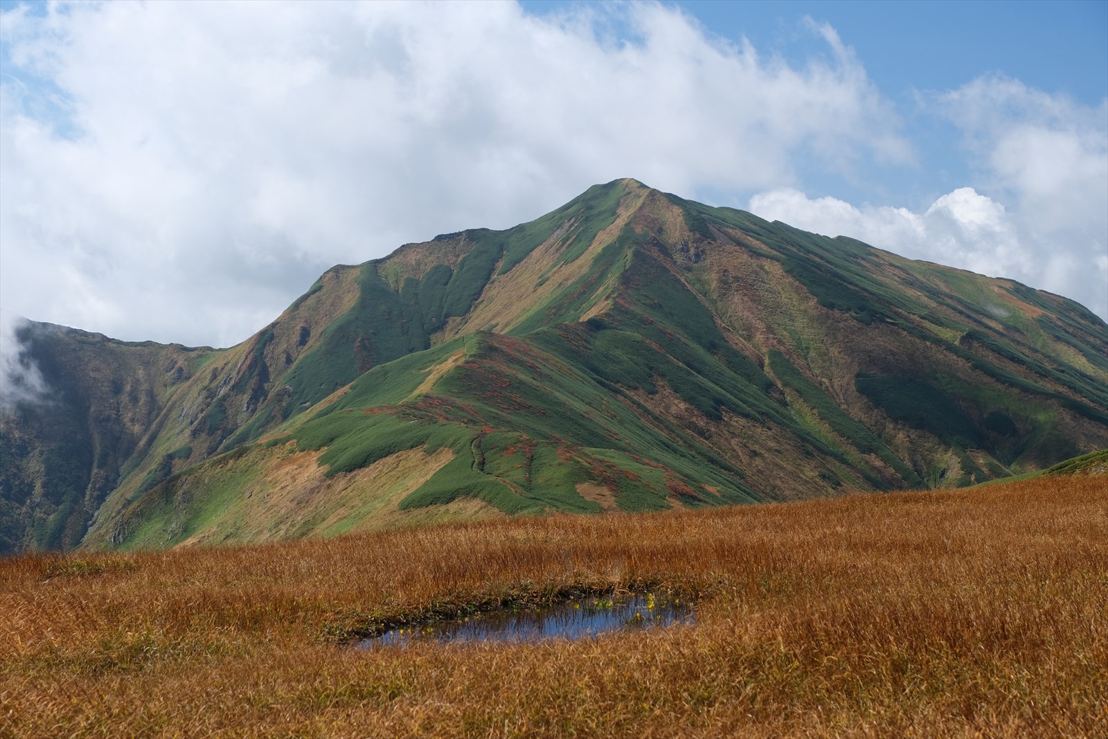
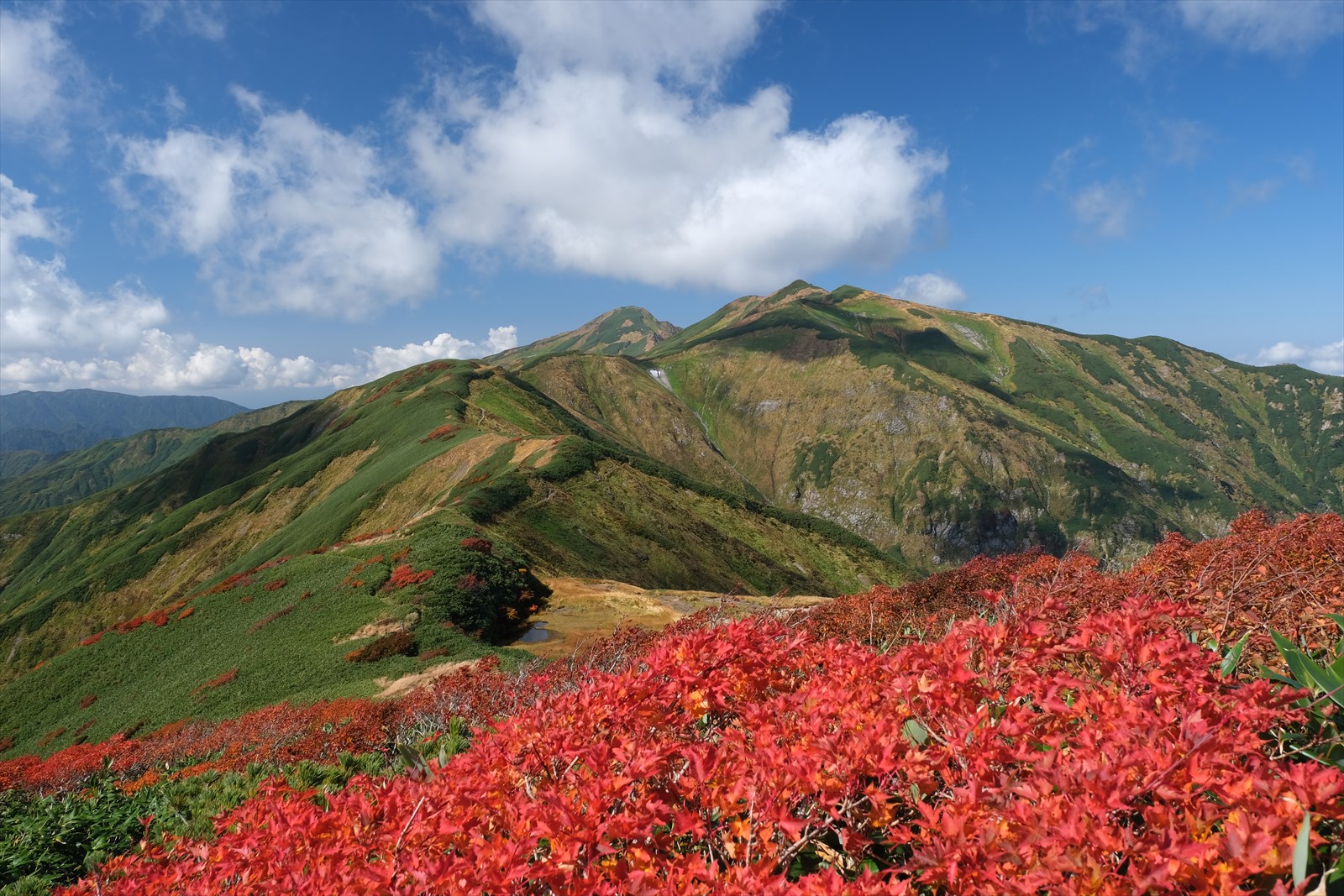
After passing Mount Komagata, Mount Dainichi can be seen on the other side of the trail.
Mt. Dainichi is the highest peak in the Iide mountain range, standing at 2,128 meters above sea level. Mount Iide, which rises 2,105 meters above sea level. Mt. Dainichi is probably due to its distance from the traverse route.
Mt. Dainichi from this angle is very beautiful. If you can afford it, I recommend that you come not only to Mount Iide but also to the inner part of Mount Komagata to see this view.
We are now near Kouhou clear water. The Yama to Kogen map shows a water spot marked as available only in autumn. We could certainly hear the sound of the water, but the path was unclear and it was not clear where the waterhole was. Therefore, it would be better to fetch water at Kiriawase hut or at the next Onishi hut.
Click here for information on Kouhou clear water watering holes.
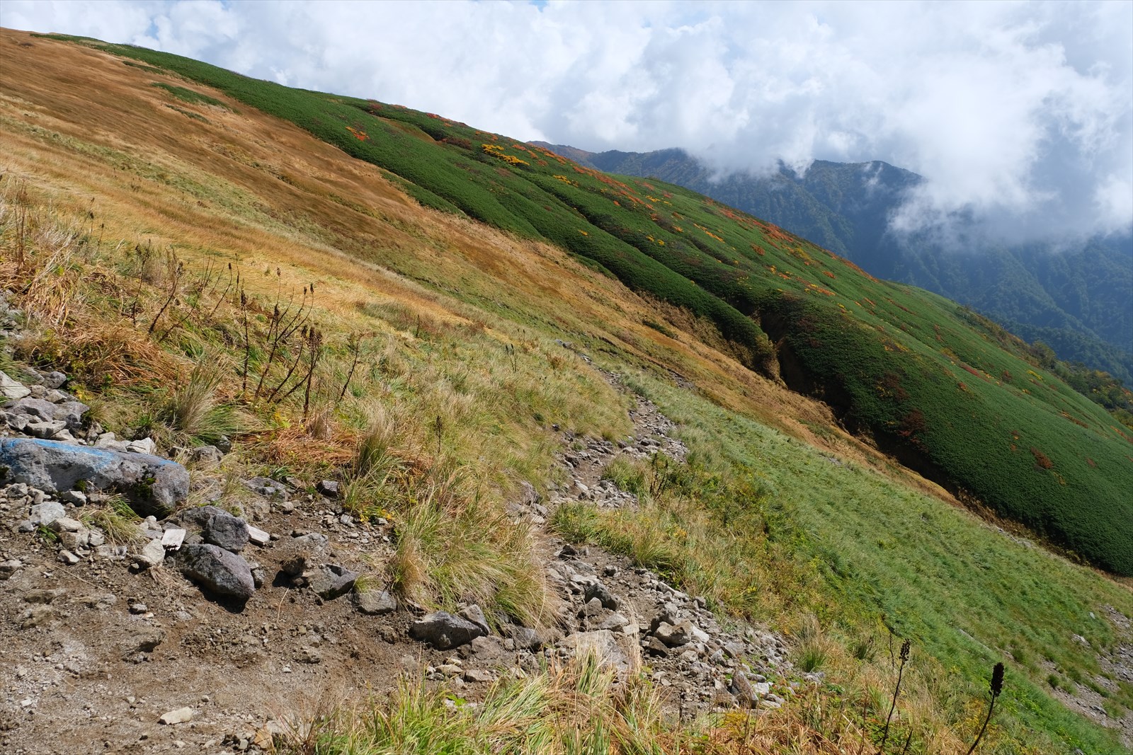
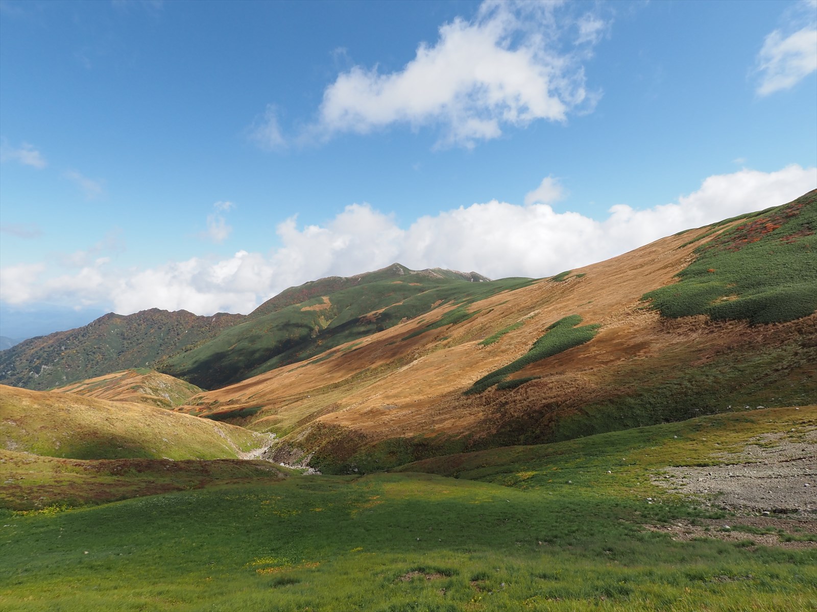
We continued on a traversing trail.
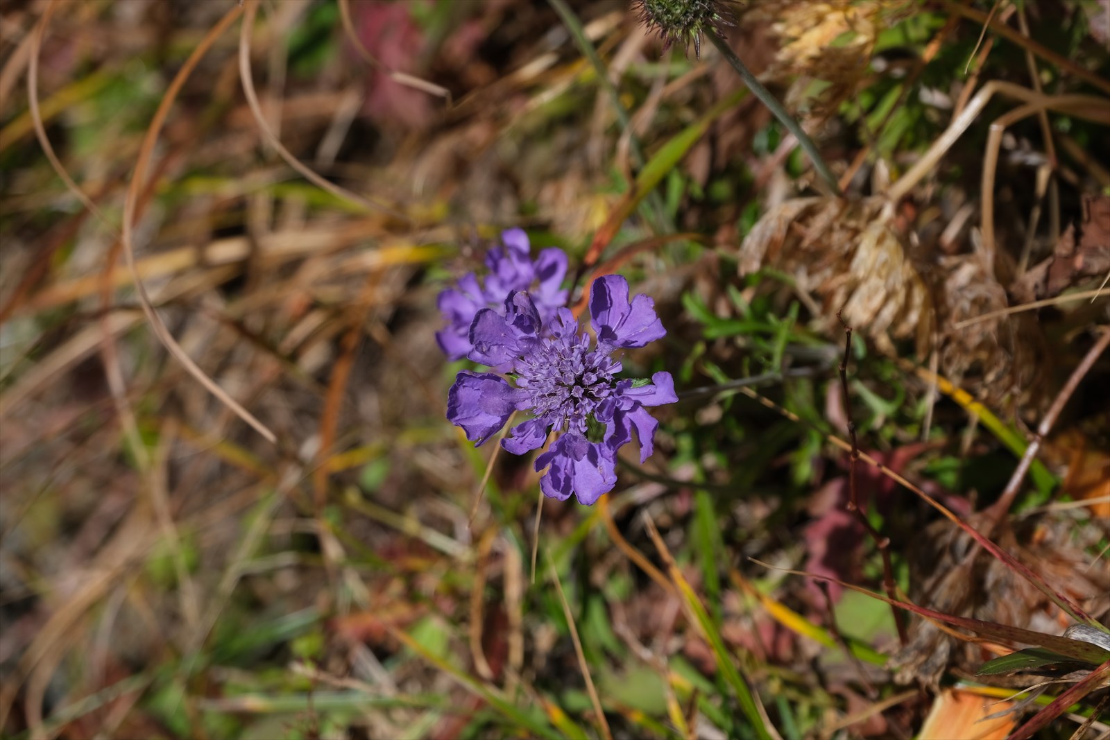
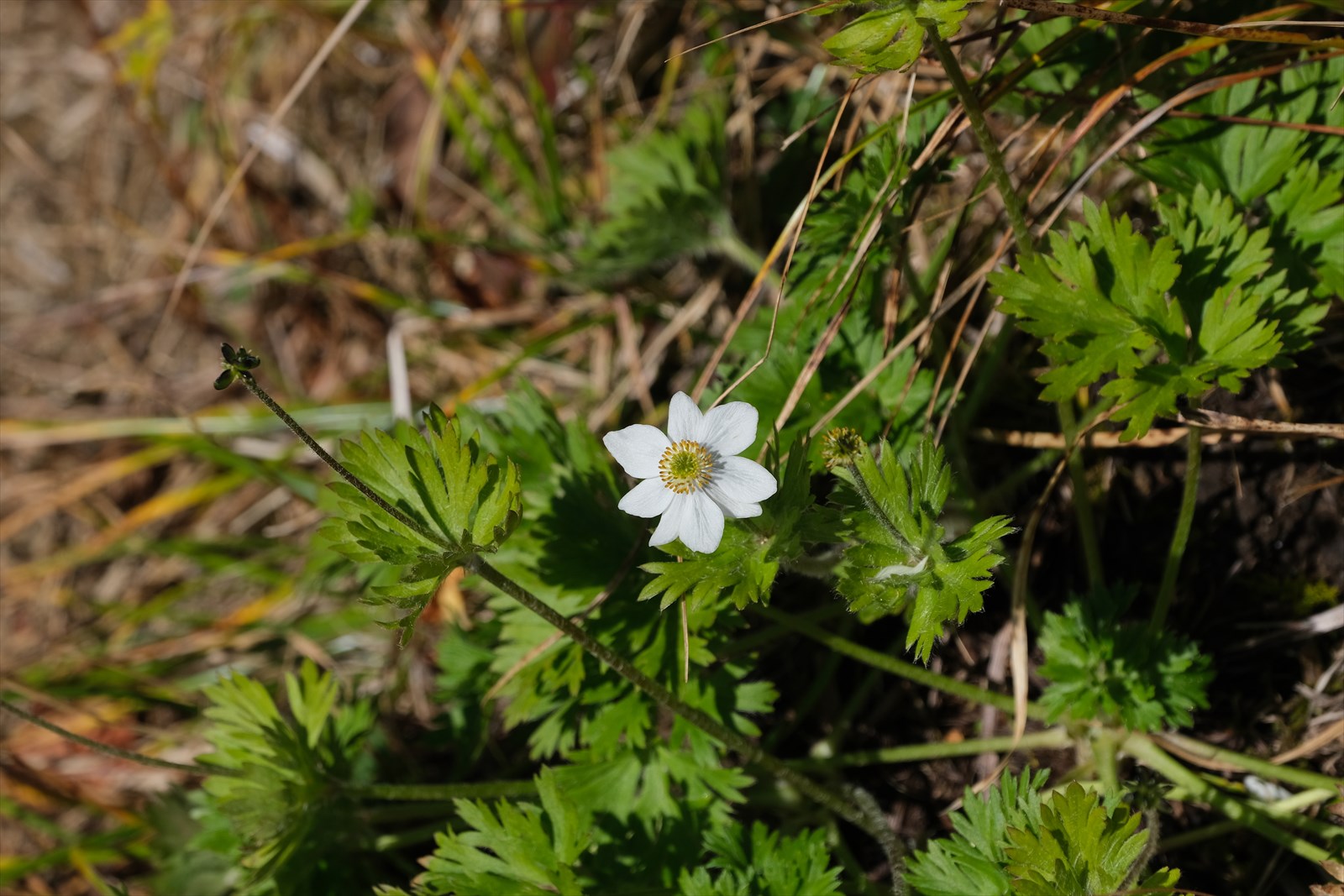
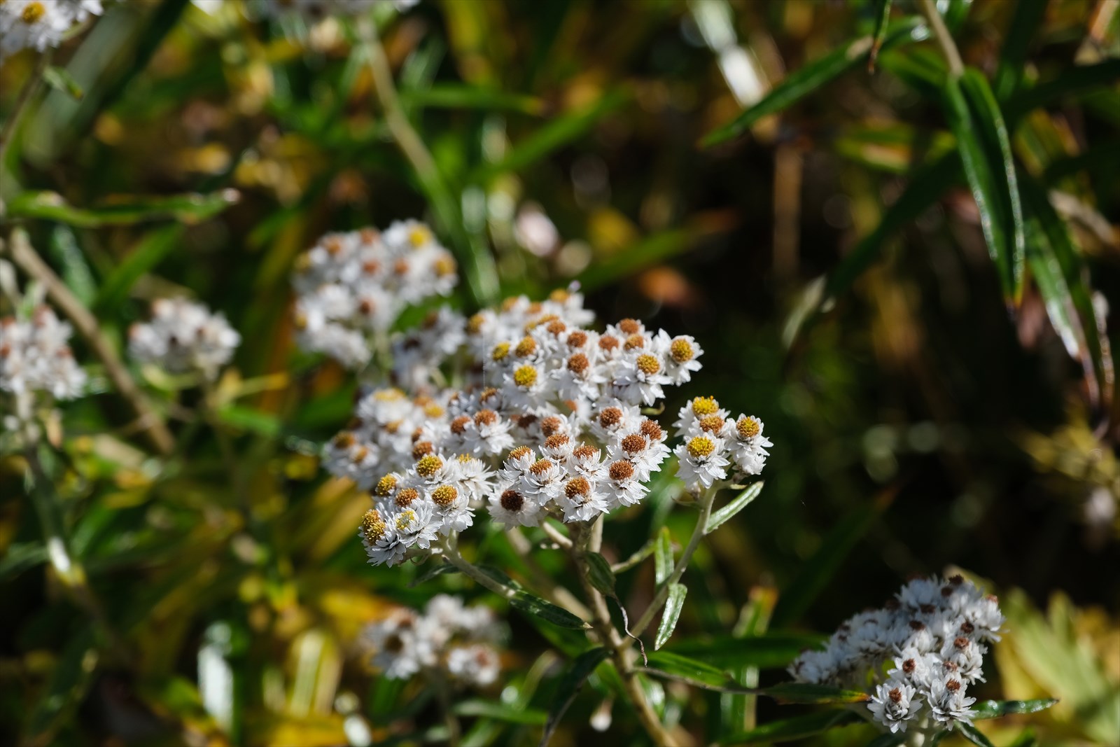
Hakusan-ichige flowers are blooming out of season.
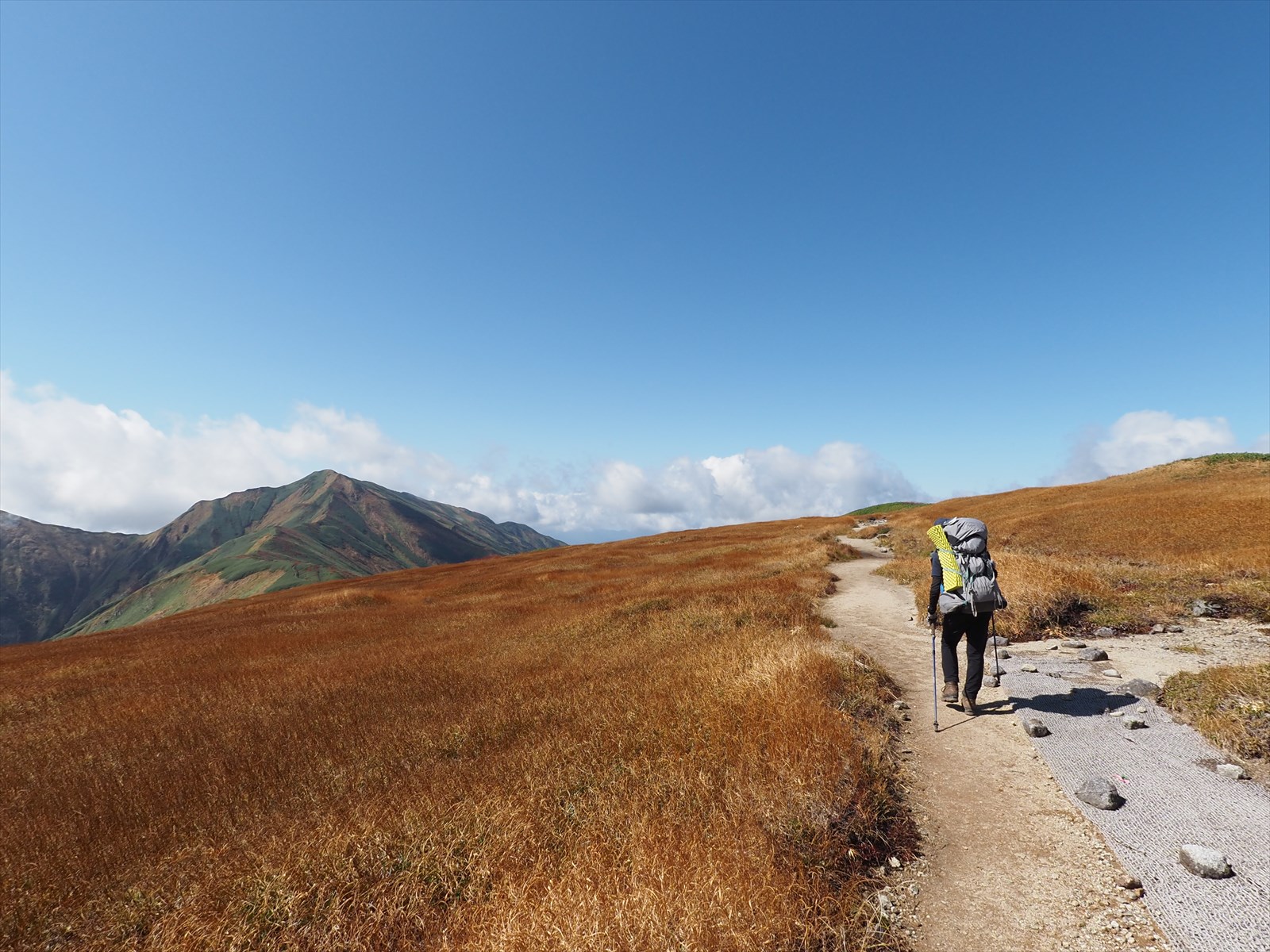
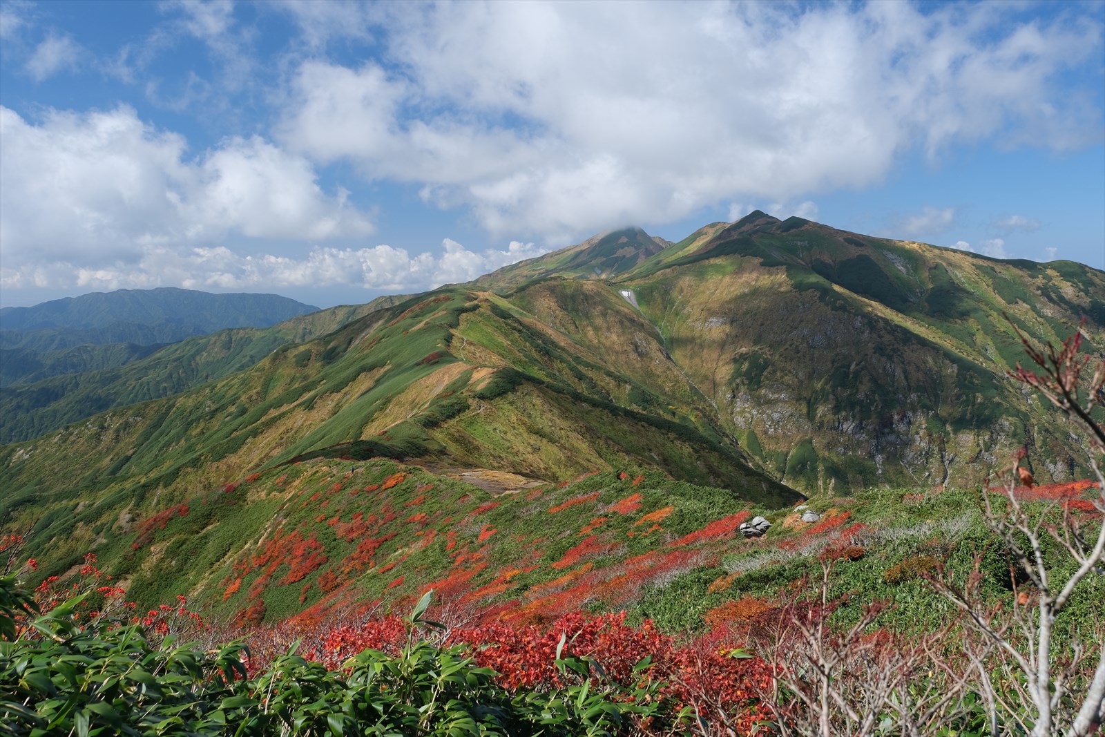
We continue on a trail with beautiful grassy foliage.
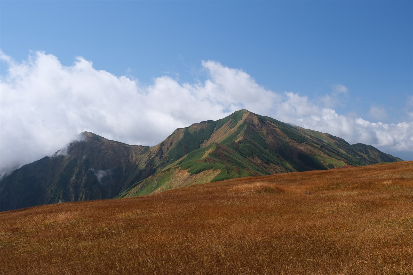
Mount Dainichi seen through the grassy foliage is also magnificent.
Hmmm. Pond Tang and Mt. Dainichi are also stunning….
By the way, despite all this talk about Mount Dainichi, we will not be climbing it this time. Mount Dainichi this time, because our schedule does not allow it. Mount Dainichi in addition to the route we are taking this time, we will need 4 days and 3 nights to climb Mount Dainichi.
We arrived at the summit of Mount Onishi (2,012 meters above sea level)! We almost went through the summit because it was wide and the sign was off.
We caught sight of Onishi hut on our right!
We arrived at Onishi hut. It appears that the caretaker is not present. Behind the hut is a tenting area.
This is a tent and Mount Dainichi and back if you have a 3-day/4-night itinerary.
The water station on Mount Onishi is a 12-minute round trip. The course time between Onishi hut and Kairagi hut is 4 hours, and there is no water station in between. Be sure to replenish your water supply here.
See here for watering hole information.
To Kairagi hut
Next, we will continue on to Kairagi hut.
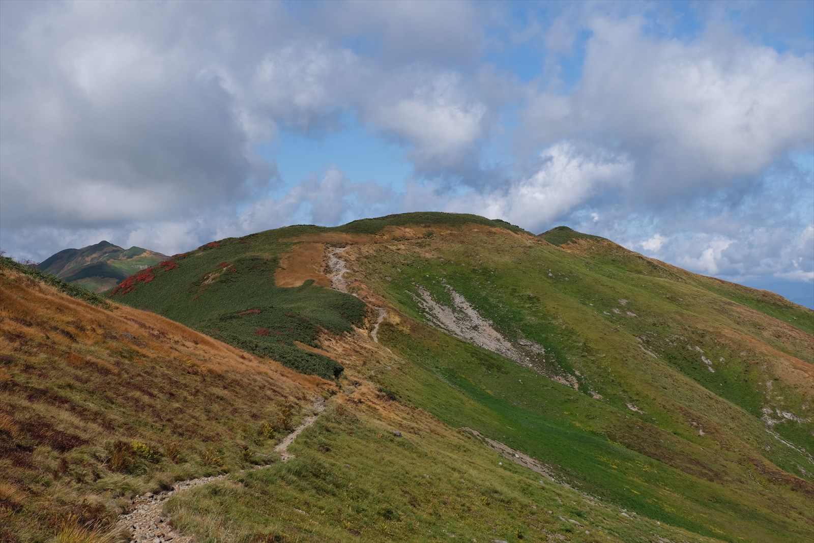
The contrast between the different colored grasses is beautiful.
We continue on a narrow ridge.
There are a few red leaves here and there on the trail.
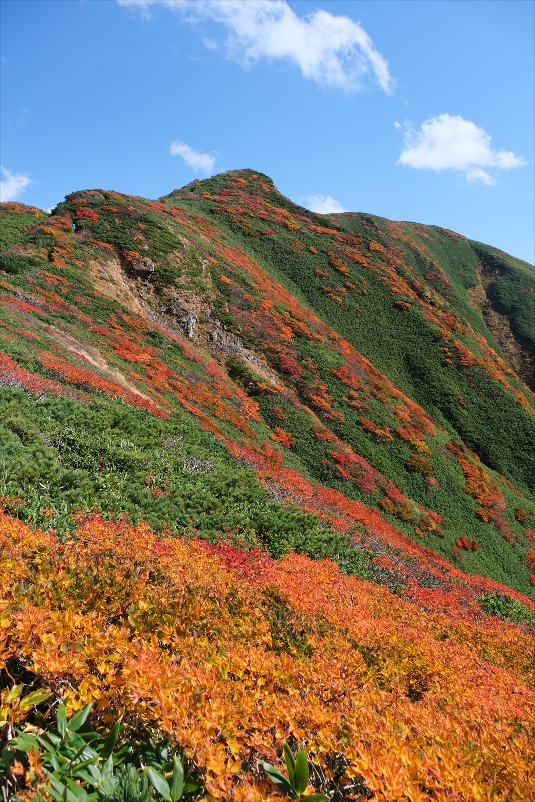
Looking back in the direction we have been going, the autumn leaves are very beautiful.
Of course, the foliage in the direction of travel is beautiful.
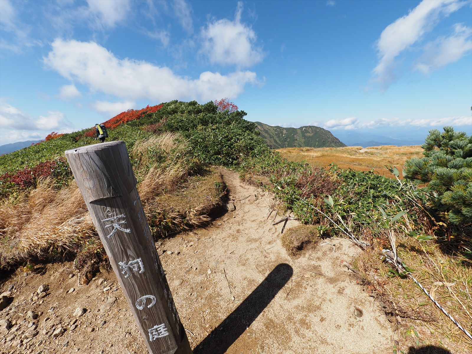
We arrived at Tengu garden.
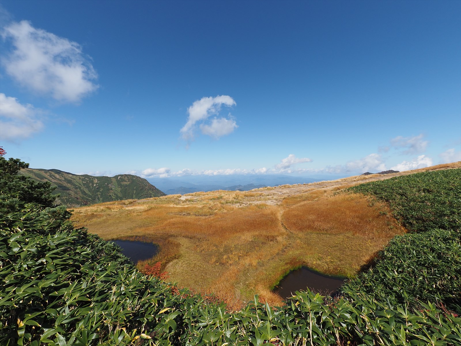
The Tengu Garden is dotted with ponds and tangos.

Onishi hut is getting much further away.
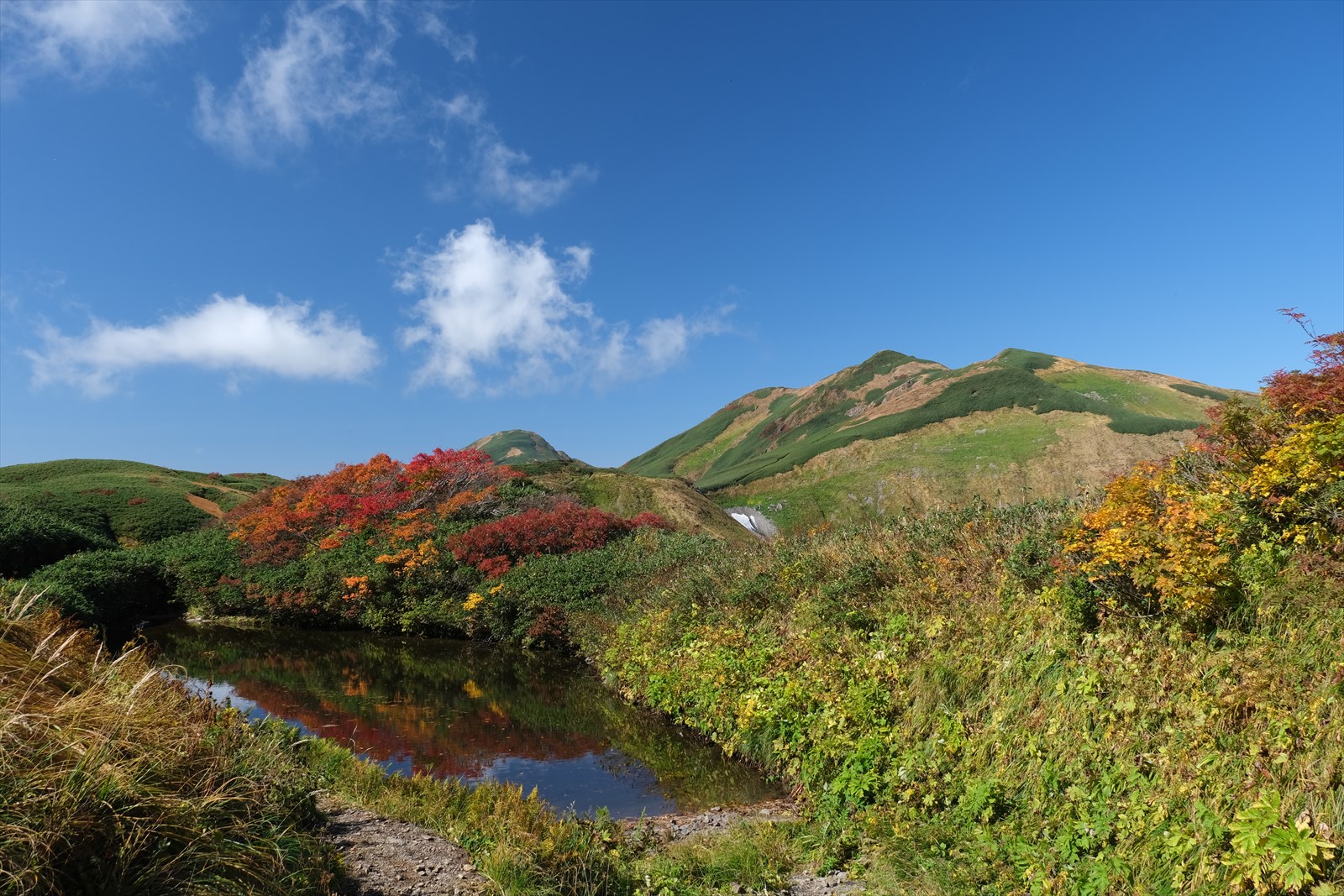
This is Mitarai pond. Various ponds are scattered between Onishi hut and Kairagi hut.
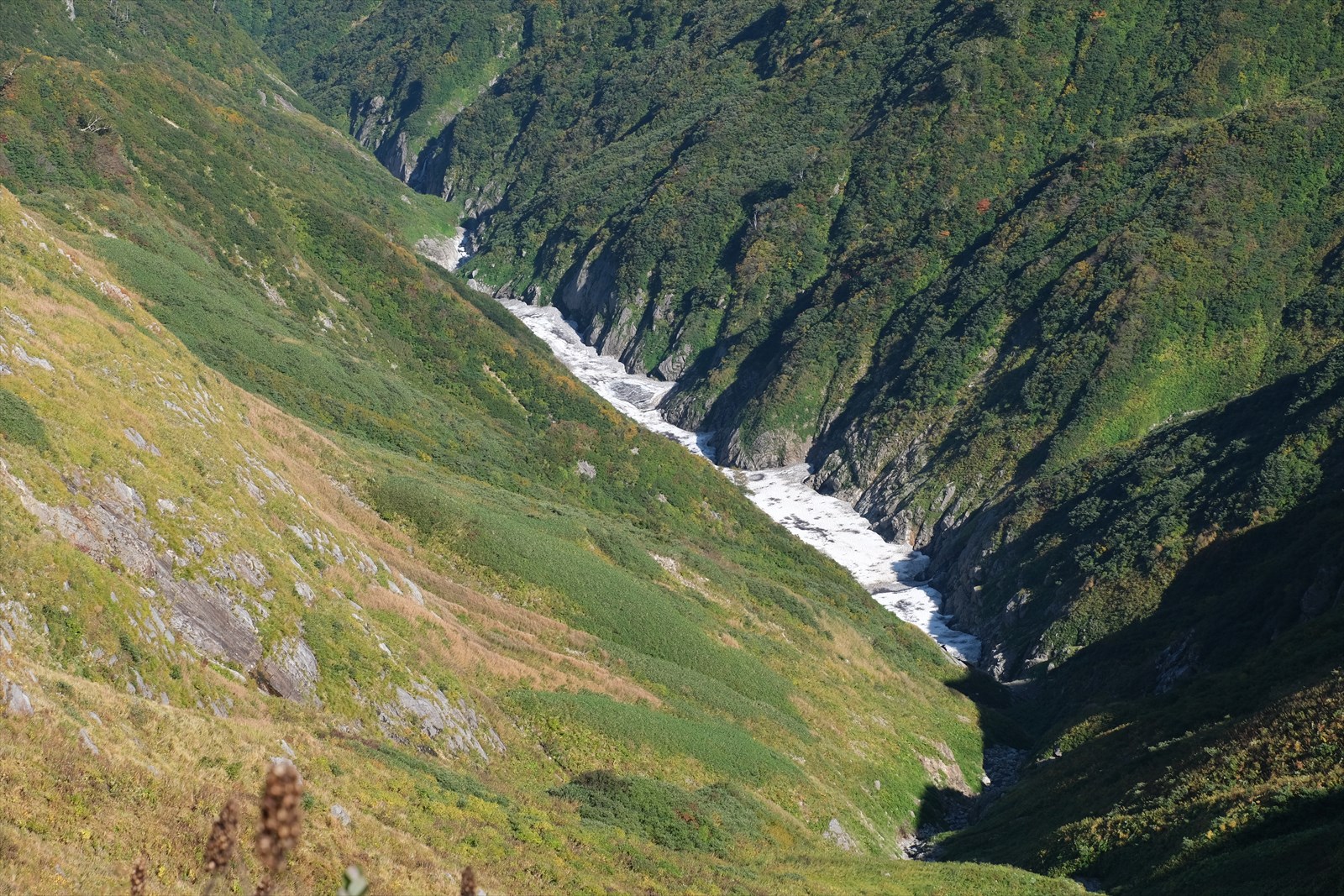
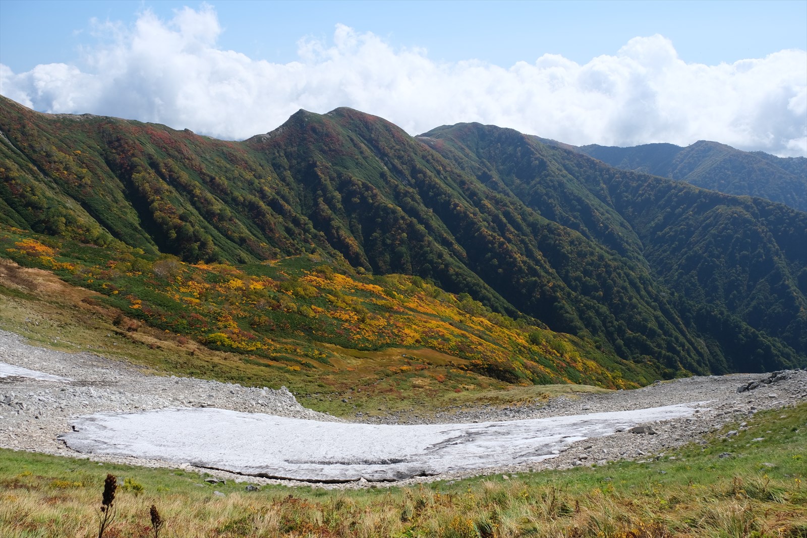
There are still snow-covered streams in some areas. Iide, a region of heavy snowfall, is a place to be feared.
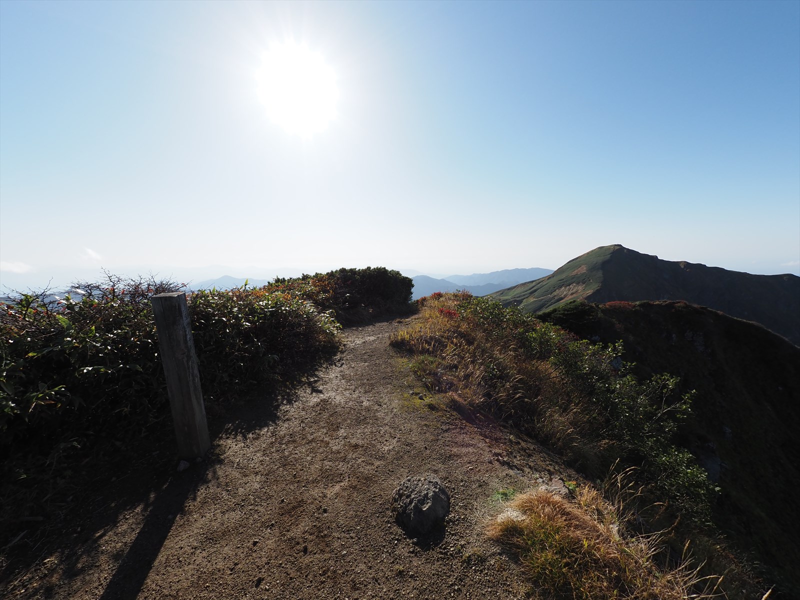
We are aiming for Mt. Eboshidake in the center of the photo.
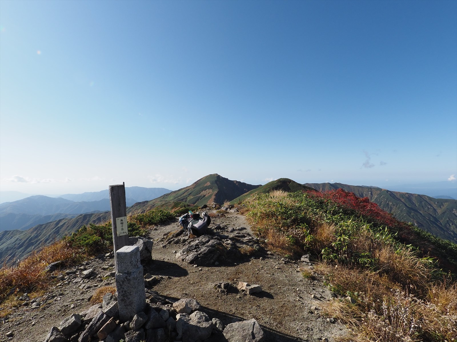
We arrived at the summit of Mount Eboshi (2,017 meters above sea level)!
This is the summit of Mount Kairagi, which is right next to Mount Eboshi.
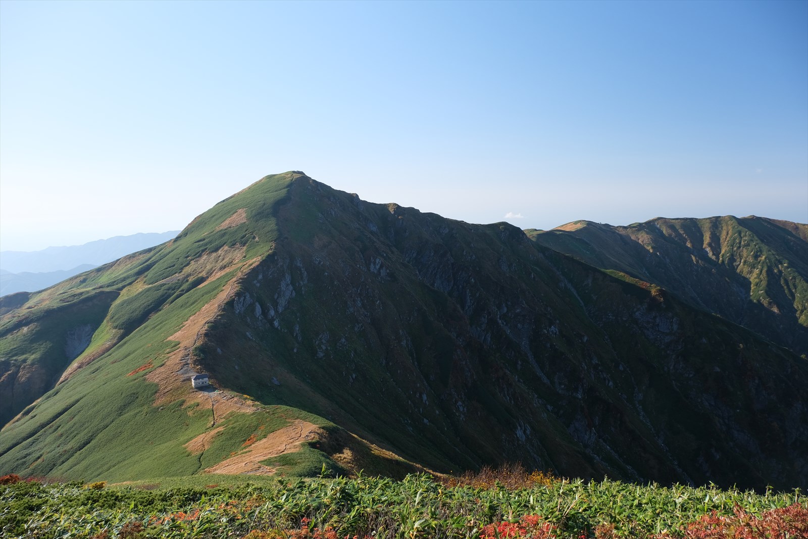
After passing Mount Kairagi, today’s campsite, Kairagi hut, comes into view.
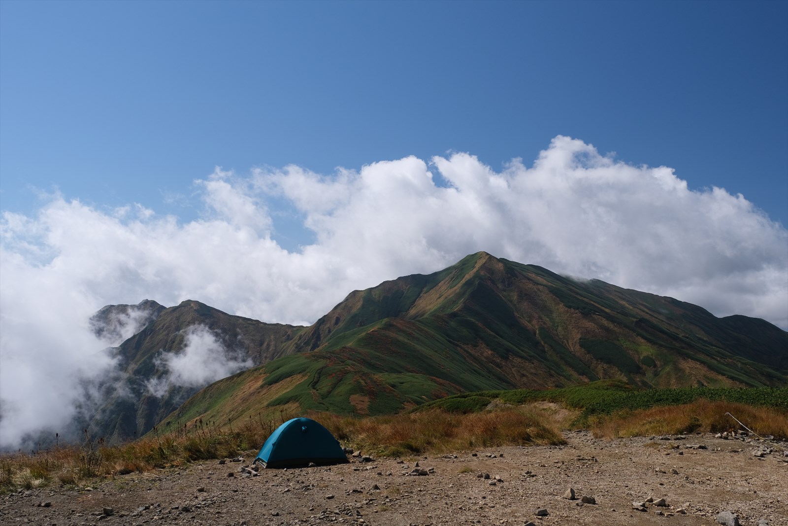
at Kairagi hut
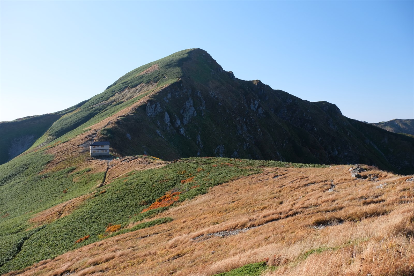
We are Kairagi hut! The tenting area is located in front of and behind the Kairagi hut. There are about 30 tents in front of and behind the Meihuabaki Hut. The camping fee is 1,000 yen per person. We recommend the area on the far side (north side) of the photo, as the ground is more level. Tents are heavy, but they are wonderful tools for spending quiet time alone.
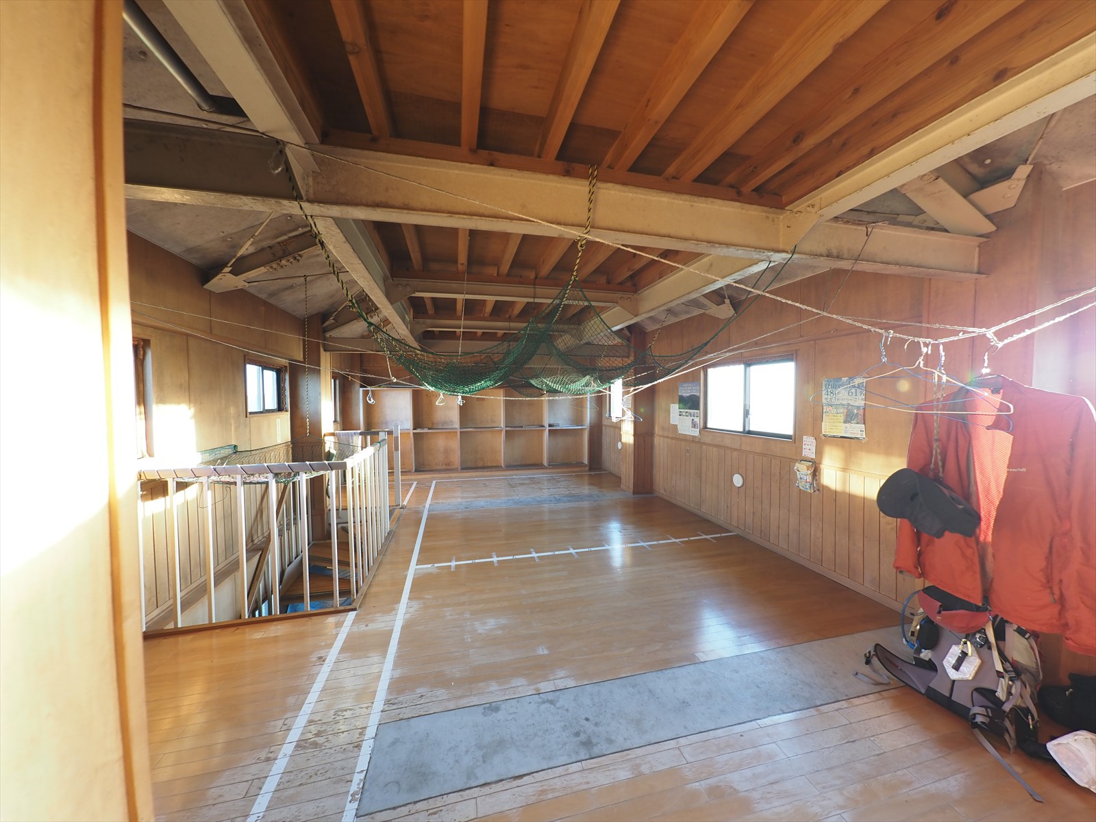
Despite all this talk about staying in tents, this time I chose to stay in a hut. Because it was windy and there was no one else around. And if I put up a tent, it would be hard to fold it up the next morning….
The fee for using the Kairagi hut is very inexpensive at 2,000 per person.
To get to the watering hole at Kairagi hut, follow this traverse path. It takes 1 minute one way.
The water is very vigorous and very easy to pump.
Click here for information on watering holes at Kairagi hut.
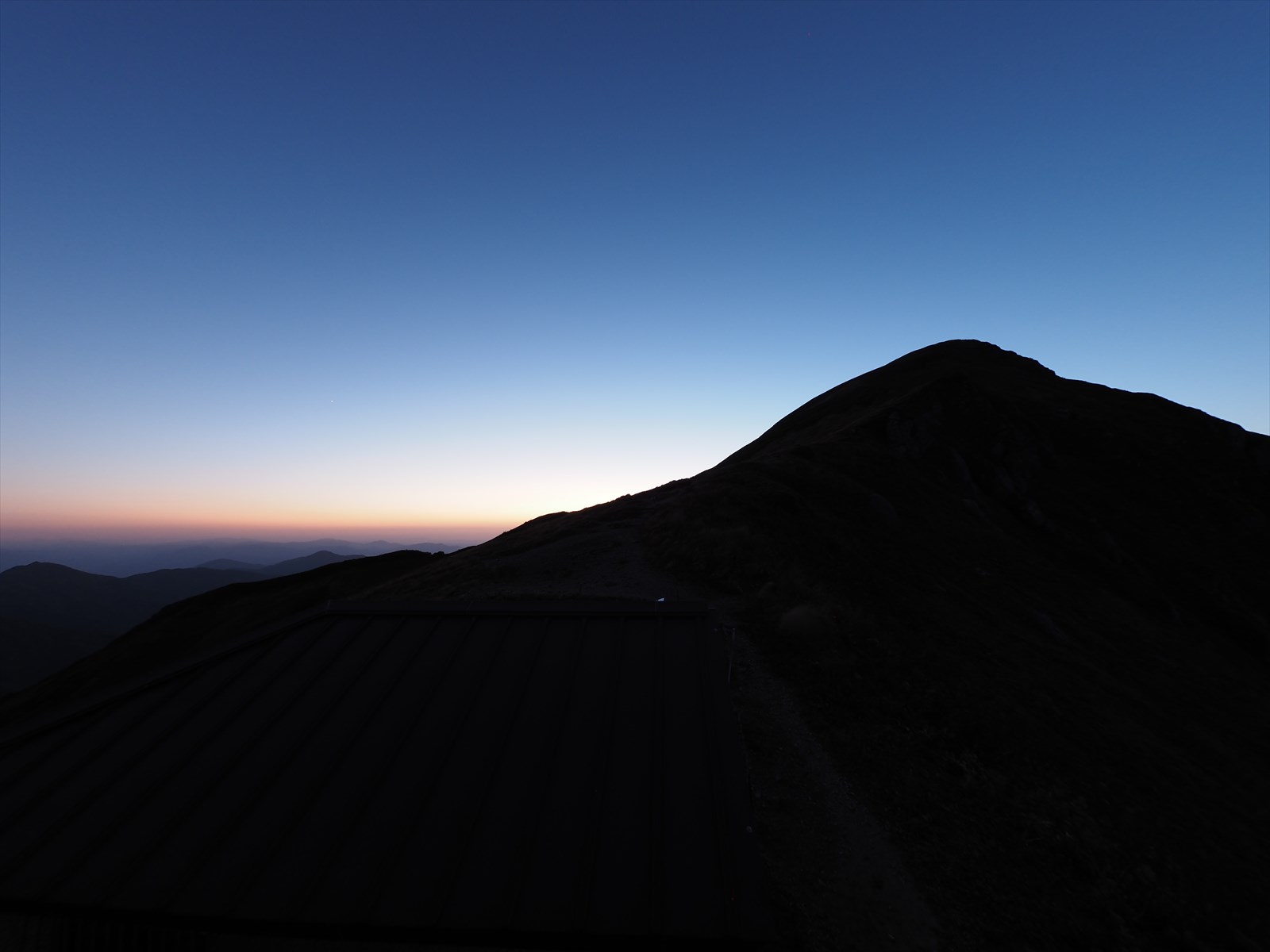
The sun will soon set. The long second day is coming to an end.
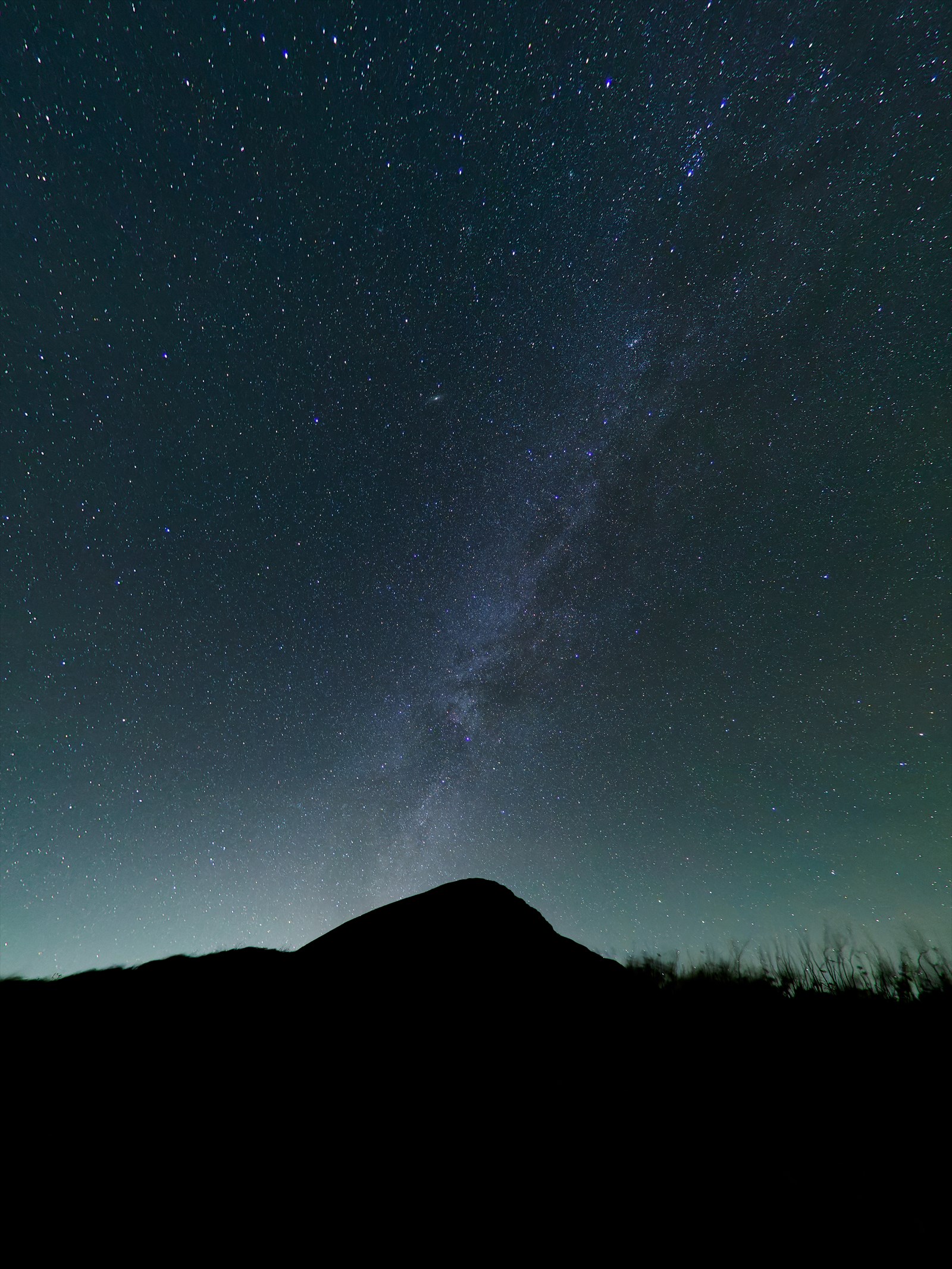
The time changes and it is midnight. Mount Kitamata and the Milky Way can be seen in early October, which is the last time the Milky Way can be seen. Later in the season, the Milky Way is no longer visible in the northern hemisphere.

Mount Kairagi, the starry sky, and city lights.
The next day, we will walk along the northern ridge of the Iide mountain range, where the autumn colors are at their peak.


